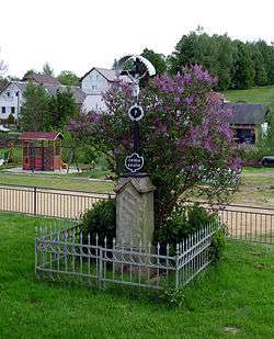
Jitkov
| Jitkov | |||
|---|---|---|---|
| Municipality | |||
 | |||
| |||
 Jitkov | |||
| Coordinates: 49°39′41″N 15°43′44″E / 49.66139°N 15.72889°ECoordinates: 49°39′41″N 15°43′44″E / 49.66139°N 15.72889°E | |||
| Country |
| ||
| Region | Vysočina | ||
| District | Havlíčkův Brod | ||
| Area | |||
| • Total | 4.56 km2 (1.76 sq mi) | ||
| Elevation | 538 m (1,765 ft) | ||
| Population (1.1.2014) | |||
| • Total | 234 | ||
| • Density | 51/km2 (130/sq mi) | ||
| Postal code | 583 01 | ||
Jitkov is a village and municipality (obec) in Havlíčkův Brod District in the Vysočina Region of the Czech Republic.
The municipality covers an area of 4.56 square kilometres (1.76 sq mi), and has a population of 200 (as at 3 July 2006).
Jitkov lies approximately 13 kilometres (8 mi) north-east of Havlíčkův Brod, 32 km (20 mi) north of Jihlava, and 106 km (66 mi) south-east of Prague.
References
| Wikimedia Commons has media related to Jitkov. |
This article is issued from Wikipedia - version of the 4/7/2016. The text is available under the Creative Commons Attribution/Share Alike but additional terms may apply for the media files.