Kalasapakkam
| Kalasapakkam thirumamudeeswaranalloor | |
|---|---|
| township | |
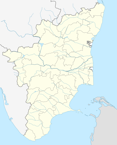 Kalasapakkam  Kalasapakkam Location in Tamil Nadu, India | |
| Coordinates: 12°25′0″N 79°6′0″E / 12.41667°N 79.10000°ECoordinates: 12°25′0″N 79°6′0″E / 12.41667°N 79.10000°E | |
| Country |
|
| State | Tamil Nadu |
| District | Tiruvannamalai |
| Elevation | 181 m (594 ft) |
| Population (2010) | |
| • Total | 33,000 |
| Languages | |
| • Official | Tamil |
| Time zone | IST (UTC+5:30) |
| PIN | 606908 |
| Telephone code | 04181 |
| Vehicle registration | TN-25 |
| Coastline | 0 kilometres (0 mi) |
| Nearest city | thiruvannamlai , polur |
| Lok Sabha constituency | thiruvannamlai |
| Vidhan Sabha constituency | kalasapakkam |
| Avg. summer temperature | 35 °C (95 °F) |
| Avg. winter temperature | 19 °C (66 °F) |
Kalasapakkam is a taluk on the river bed of Cheyyar River in Tiruvannamalai district, Tamil Nadu, India. It has a population of 33,000. it is one of the oldest towns of North Arcot District. Now the town is replaced by a large scale industries.
Geography
It is located at 12°25′0″N 79°6′0″E / 12.41667°N 79.10000°E at an elevation of 181 m above MSL.[1]
References
External links
This article is issued from Wikipedia - version of the 9/4/2016. The text is available under the Creative Commons Attribution/Share Alike but additional terms may apply for the media files.