Kanyanagar
| Kanyanagar কন্যানগর | |
|---|---|
| Census Town | |
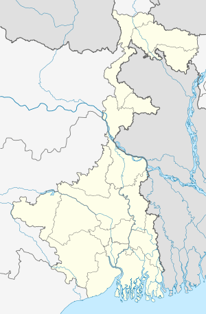 Kanyanagar  Kanyanagar Location in West Bengal, India | |
| Coordinates: 22°22′28″N 88°16′17″E / 22.37435°N 88.27139°ECoordinates: 22°22′28″N 88°16′17″E / 22.37435°N 88.27139°E | |
| Country |
|
| State | West Bengal |
| District | South 24 Parganas |
| Population (2011) | |
| • Total | 10,823 |
| Languages | |
| • Official | Bengali, English |
| Time zone | IST (UTC+5:30) |
| Vehicle registration | WB |
| Website |
s24pgs |
Kanyanagar is a census town in Bishnupur I CD Block in Alipore Sadar subdivision of South 24 Parganas district in the Indian state of West Bengal.
Geography
Kanyanagar is located at 22°22′28″N 88°16′17″E / 22.37435°N 88.27139°E
Demographics
As per 2011 census of India Kanyanagar had a total population of 10,823, of which 5,499 (51%) were males and 5,324 (49%) were females. Population below 6 years was 848. The total number of literates in Kanyanagar was 8,663 (86.85 % of the population over 6 years).[1]
As of 2001 India census,[2] Kanyanagar had a population of 10,193. Males constitute 51% of the population and females 49%. Kanyanagar has an average literacy rate of 78%, higher than the national average of 59.5%: male literacy is 85%, and female literacy is 71%. In Kanyanagar, 9% of the population is under 6 years of age.
References
- ↑ "C.D. Block Wise Primary Census Abstract Data(PCA)". 2011 census: West Bengal – District-wise CD Blocks. Registrar General and Census Commissioner, India. Retrieved 26 April 2016.
- ↑ "Census of India 2001: Data from the 2001 Census, including cities, villages and towns (Provisional)". Census Commission of India. Archived from the original on 2004-06-16. Retrieved 2008-11-01.
Cities, towns and locations in South 24 Parganas district | |||||||||||||||||||
|---|---|---|---|---|---|---|---|---|---|---|---|---|---|---|---|---|---|---|---|
| Cities, municipal and census towns |
| ||||||||||||||||||
| Locations other than cities and towns | |||||||||||||||||||
| Related topics |
| ||||||||||||||||||