Kapanda Airport
| Kapanda Airport | |||||||||||||||
|---|---|---|---|---|---|---|---|---|---|---|---|---|---|---|---|
| IATA: KNP – ICAO: FNCP | |||||||||||||||
| Summary | |||||||||||||||
| Airport type | Public | ||||||||||||||
| Serves | Capanda Dam | ||||||||||||||
| Elevation AMSL | 3,366 ft / 1,026 m | ||||||||||||||
| Coordinates | 9°46′15″S 15°27′25″E / 9.77083°S 15.45694°ECoordinates: 9°46′15″S 15°27′25″E / 9.77083°S 15.45694°E | ||||||||||||||
| Map | |||||||||||||||
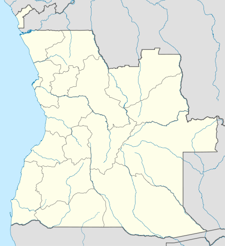 KNP Location of Kapanda Airport in Angola | |||||||||||||||
| Runways | |||||||||||||||
| |||||||||||||||
| Helipads | |||||||||||||||
| |||||||||||||||
Kapanda Airport (IATA: KNP, ICAO: FNCP) is an airport serving the Capanda Dam project near Kapanda, a village in Malanje Province, Angola.
Airlines and destinations
| Airlines | Destinations |
|---|---|
| TAAG Angola Airlines | Luanda[4] |
See also
 Angola portal
 Aviation portal
- List of airports in Angola
- Transport in Angola
References
- ↑ "FNCP @ aerobaticsweb.org". Landings.com. Retrieved 31 July 2013.
- ↑ Google Maps - Capanda
- ↑ Airport information for KNP at Great Circle Mapper.
- ↑ TAAG Angola destinations schedule
External links
This article is issued from Wikipedia - version of the 12/4/2016. The text is available under the Creative Commons Attribution/Share Alike but additional terms may apply for the media files.