Karlievo
| Karlievo | |
|---|---|
 | |
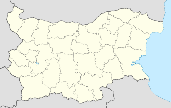 Karlievo Location of Karlievo | |
| Coordinates: 42°41′N 24°7′E / 42.683°N 24.117°ECoordinates: 42°41′N 24°7′E / 42.683°N 24.117°E | |
| Country |
|
| Provinces (Oblast) | Sofia Province |
| Government | |
| • Mayor | Ivan Ivanov (BSP) |
| Area | |
| • Total | 18.097 km2 (6.987 sq mi) |
| Elevation | 635 m (2,083 ft) |
| Population (2007-01-01)[1] | |
| • Total | 245 |
| • Density | 14/km2 (35/sq mi) |
| Time zone | EET (UTC+2) |
| • Summer (DST) | EEST (UTC+3) |
| Postal Code | 2088 |
Karlievo (Bulgarian: Карлиево) is a village in western Bulgaria. It is located in the municipality of Zlatitsa, in Sofia Province. As of 2007 the village had 245 inhabitants.
Geography
Karlievo is situated in a mountainous region in the Sredna Gora mountains. The nearest village is Chelopech at 2 km to the west. Most of the population is employed in the large copper and gold mines in the surrounding region or in Cumerio Med between Zlatitsa and Pirdop - the largest copper smelter and refinery in the Balkan peninsula.
Gallery
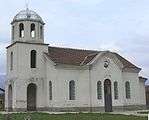
- Karlievo
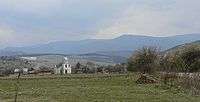 View towards the village.
- St Eustatius Church.
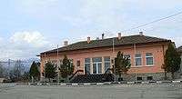 The Village Hall.
Notes
- ↑ "Bulgaria Guide, Karlievo". Retrieved 13 January 2009.
| Wikimedia Commons has media related to Карлиево. |
Capital: Zlatitsa | ||
| Villages | 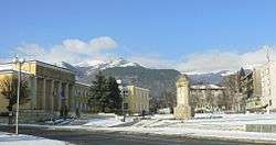 | |
| Landmarks | ||
| Culture | ||
| Notable people |
| |
This article is issued from Wikipedia - version of the 10/26/2015. The text is available under the Creative Commons Attribution/Share Alike but additional terms may apply for the media files.