Katsina Airport
| Katsina Airport Umaru Musa Yar'Adua Airport | |||||||||||
|---|---|---|---|---|---|---|---|---|---|---|---|
| IATA: DKA – ICAO: DNKT | |||||||||||
| Summary | |||||||||||
| Airport type | Public | ||||||||||
| Owner/Operator | Federal Airports Authority of Nigeria | ||||||||||
| Serves | Katsina, Nigeria | ||||||||||
| Elevation AMSL | 1,660 ft / 506 m | ||||||||||
| Coordinates | 13°00′25″N 7°39′35″E / 13.00694°N 7.65972°E | ||||||||||
| Map | |||||||||||
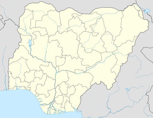 DKA Location of the airport in Nigeria | |||||||||||
| Runways | |||||||||||
| |||||||||||
Katsina Airport (IATA: DKA, ICAO: DNKT, TC LID: DN57) is an airport serving Katsina, the capital of Katsina State in Nigeria. The runway is on the northeast side of the city.
The Katsina VOR-DME (Ident: KAT) is located 2.0 nautical miles (3.7 km) northeast of the airport.[4] The Katsina non-directional beacon (Ident: KT) is located on the field.[5] The "DNKT" ICAO code may not be active.
See also
 Nigeria portal
 Aviation portal
- Transport in Nigeria
- List of airports in Nigeria
References
- ↑ Airport information for DN57 at World Aero Data. Data current as of October 2006.Source: DAFIF.
- ↑ Airport information for DKA at Great Circle Mapper.
- ↑ Google Maps - Katsina
- ↑ SkyVector - Katsina
- ↑ OurAirports - KT NDB
External links
This article is issued from Wikipedia - version of the 10/17/2016. The text is available under the Creative Commons Attribution/Share Alike but additional terms may apply for the media files.