Khanapur, Adilabad
| Khanapur ఖానాపూర్ خاناں پور | |
|---|---|
| Town | |
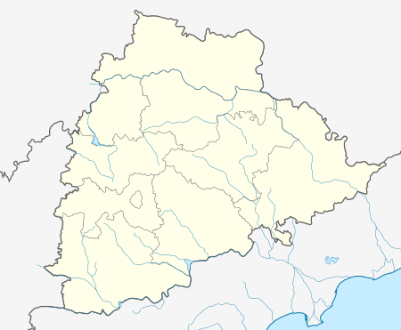 Khanapur  Khanapur Location in Telangana, India | |
| Coordinates: 19°02′00″N 78°40′00″E / 19.0333°N 78.6667°ECoordinates: 19°02′00″N 78°40′00″E / 19.0333°N 78.6667°E | |
| Country |
|
| State | Telangana |
| District | Nirmal |
| Area | |
| • Total | 3 km2 (1 sq mi) |
| Elevation | 2,290 m (7,510 ft) |
| Population (2011) | |
| • Total | 55,000 |
| • Density | 18,000/km2 (47,000/sq mi) |
| Languages | |
| • Official | Telugu ، Urdu |
| Time zone | IST (UTC+5:30) |
| PIN | 504203 |
| Telephone code | 08730 |
| Vehicle registration | TS 01 |
| Nearest city | Nirmal |
| Lok Sabha constituency | Nirmal |
| Vidhan Sabha constituency | Khanapur |
| Climate | hot (Köppen) |
| Website |
telangana |
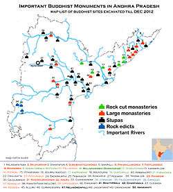
Badankurti near Khanapur is an Important Buddhist site of Telangana
Khanapur is a Mandal Headquarters in Nirmal district of Telangana, India.
Geography
Khanapur is located at 19°02′00″N 78°40′00″E / 19.0333°N 78.6667°E.[1] It has an average elevation of 229 meters (754 feet). located on the banks of river godavari.
Khanapur has a leisure place called Sadarmat which is small reservoir. This will be a picnic place during summer & winter time. Khanapur can be reached by 34 km west from Nirmal (NH-7).
Demographics
According to Indian census, 2001, the demographic details of Khanapur mandal is as follows:[2]
- Total Population: 55,517 in 11,916 Households.
- Male Population: 27,836 and Female Population: 27,681
- Children Under 6-years of age: 8,517 (Boys - 4,357 and Girls - 4,160)
- Total Literates: 23,782
References
bavapur(r)
This article is issued from Wikipedia - version of the 10/12/2016. The text is available under the Creative Commons Attribution/Share Alike but additional terms may apply for the media files.