Khao Nom Nang, Tha Kradan
| Khao Nom Nang เขานมนาง | |
|---|---|
 | |
| Highest point | |
| Elevation | 752 m (2,467 ft) |
| Coordinates | 14°21′02″N 99°12′53″E / 14.35056°N 99.21472°ECoordinates: 14°21′02″N 99°12′53″E / 14.35056°N 99.21472°E |
| Geography | |
 Khao Nom Nang Location in Thailand | |
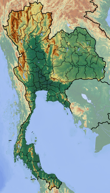
| Location | Kanchanaburi, Thailand |
| Parent range | Tenasserim Hills |
| Geology | |
| Mountain type | Limestone |
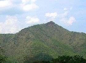
Khao Nom Nang (Thai: เขานมนาง), "female breast mountain", is a 752 m high mountain in the Tenasserim Hills in Kanchanaburi Province, Thailand.
Description
Khao Nom Nang rises above the surrounding limestone hills between Nong Pet and Chong Sadao east of Route 3199.[1] The mountain is in the Erawan National Park area.[2]
See also
References
- ↑ Roadway Thailand Atlas, Groovy Map Co., Ltd. April 2010
- ↑ Erawan National Park
External links
This article is issued from Wikipedia - version of the 9/26/2016. The text is available under the Creative Commons Attribution/Share Alike but additional terms may apply for the media files.