Kiçan
Coordinates: 40°03′45″N 46°40′24″E / 40.06250°N 46.67333°E
| Kiçan | |
|---|---|
 Kiçan | |
| Coordinates: AZ 40°03′45″N 46°40′24″E / 40.06250°N 46.67333°E | |
| Country |
|
| Rayon | Tartar |
| Elevation | 935 m (3,068 ft) |
| Population | |
| • Total | 168 |
| Time zone | AZT (UTC+4) |
| • Summer (DST) | AZT (UTC+5) |
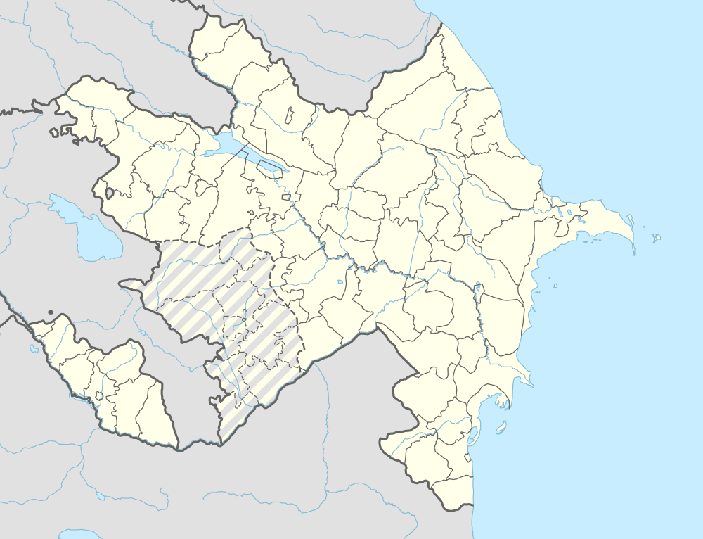
Kiçan (also, Kich’an) is a village in the Tartar Rayon of Azerbaijan, which is occupied by separatist and unrecognized Nagorno-Karabakh Republic.
References
.svg.png)
This article is issued from Wikipedia - version of the 11/4/2016. The text is available under the Creative Commons Attribution/Share Alike but additional terms may apply for the media files.