Kincaid, Saskatchewan
For other uses, see Kincaid.
| Village of Kincaid | |
|---|---|
|
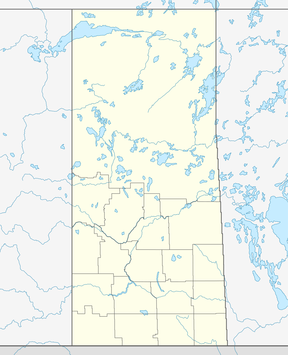
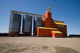
Kincaid grain elevator | |
 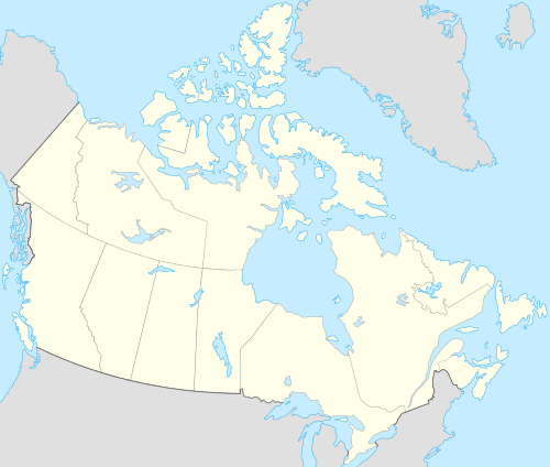 Location of Kincaid in Saskatchewan | |
| Coordinates: 49°40′16″N 107°00′22″W / 49.671°N 107.006°W | |
| Country | Canada |
| Province | Saskatchewan |
| Region | Saskatchewan |
| Census division | 3 |
| Rural Municipality | Pinto Creek |
| Post office Founded | November 1, 193 |
| Incorporated (Village) | July 19, 1913 |
| Government | |
| • Mayor | Cynthia Gross |
| • Administrator | Barbara Hunter |
| • Governing body | Kincaid Village Council |
| Area | |
| • Total | 0.82 km2 (0.32 sq mi) |
| Population (2011) | |
| • Total | 114 |
| • Density | 139.4/km2 (361/sq mi) |
| Time zone | CST |
| Postal code | S0H 2J0 |
| Area code(s) | 306 |
| Highways |
Highway 13 Highway 19 |
| [1][2][3][4] | |
Kincaid is a village in the Canadian province of Saskatchewan. It was incorporated as a village on July 19, 1913.[5]
Demographics
| Canada census – Kincaid, Saskatchewan community profile | |||
|---|---|---|---|
| 2006 | |||
| Population: | 135 (-16.1% from 2001) | ||
| Land area: | 0.82 km2 (0.32 sq mi) | ||
| Population density: | 165.0/km2 (427/sq mi) | ||
| Median age: | 40.7 (M: 40.5, F: 42.5) | ||
| Total private dwellings: | 76 | ||
| Median household income: | $Not Available | ||
| References: 2006[6] | |||
Climate
| Climate data for Kincaid | |||||||||||||
|---|---|---|---|---|---|---|---|---|---|---|---|---|---|
| Month | Jan | Feb | Mar | Apr | May | Jun | Jul | Aug | Sep | Oct | Nov | Dec | Year |
| Record high °C (°F) | 12.8 (55) |
17 (63) |
23 (73) |
32 (90) |
37 (99) |
43.5 (110.3) |
39 (102) |
39.5 (103.1) |
37.2 (99) |
33 (91) |
21.7 (71.1) |
12.2 (54) |
43.5 (110.3) |
| Average high °C (°F) | −7.2 (19) |
−3.6 (25.5) |
3.4 (38.1) |
12.3 (54.1) |
19.1 (66.4) |
23.5 (74.3) |
26.4 (79.5) |
26.5 (79.7) |
19.8 (67.6) |
12.5 (54.5) |
1.2 (34.2) |
−5.5 (22.1) |
10.7 (51.3) |
| Daily mean °C (°F) | −13 (9) |
−9.4 (15.1) |
−2.6 (27.3) |
4.9 (40.8) |
11.3 (52.3) |
15.9 (60.6) |
18.3 (64.9) |
18.1 (64.6) |
11.9 (53.4) |
5.3 (41.5) |
−4.5 (23.9) |
−11.4 (11.5) |
3.7 (38.7) |
| Average low °C (°F) | −18.8 (−1.8) |
−15.2 (4.6) |
−8.7 (16.3) |
−2.5 (27.5) |
3.5 (38.3) |
8.3 (46.9) |
10.3 (50.5) |
9.7 (49.5) |
4.1 (39.4) |
−1.9 (28.6) |
−10.2 (13.6) |
−17.2 (1) |
−3.2 (26.2) |
| Record low °C (°F) | −41.7 (−43.1) |
−42 (−44) |
−34.4 (−29.9) |
−28.3 (−18.9) |
−11 (12) |
−6.1 (21) |
0 (32) |
−3 (27) |
−14 (7) |
−25 (−13) |
−36.5 (−33.7) |
−45 (−49) |
−45 (−49) |
| Average precipitation mm (inches) | 16.7 (0.657) |
13.1 (0.516) |
17.3 (0.681) |
18.2 (0.717) |
50.7 (1.996) |
65.1 (2.563) |
57.6 (2.268) |
35.6 (1.402) |
32.2 (1.268) |
18.2 (0.717) |
14.3 (0.563) |
19.6 (0.772) |
358.5 (14.114) |
| Source: Environment Canada[7] | |||||||||||||
Infrastructure
Saskatchewan Transportation Company provides regular intercity bus service to Kincaid.[8]
Notable people
- Ross Belsher - Politician and business person
- Billy Taylor - Professional hockey player who played two games for the New York Rangers in the 1964-65 season
- Jason Sadowski - Radiation scientist at the Radiation Safety Institute of Canada
- Gary Hansen - Business person
See also
References
- ↑ National Archives, Archivia Net, Post Offices and Postmasters
- ↑ Government of Saskatchewan, MRD Home, Municipal Directory System, archived from the original (– Scholar search) on November 21, 2008
- ↑ Canadian Textiles Institute. (2005), CTI Determine your provincial constituency
- ↑ Commissioner of Canada Elections, Chief Electoral Officer of Canada (2005), Elections Canada On-line
- ↑ "Urban Municipality Incorporations" (PDF). Saskatchewan Ministry of Municipal Affairs. p. 5. Retrieved 2010-02-17.
- ↑ "2006 Community Profiles". Canada 2006 Census. Statistics Canada. March 30, 2011. Retrieved 2009-02-24.
- ↑ "Canadian Climate Normals 1971–2000". Environment Canada. September 28, 2010. Retrieved 2010-11-24.
- ↑ "Saskatchewan Transportation Company: Route Map" (PDF). Saskatchewan Transportation Company. September 2009. Retrieved 2010-11-24.
 |
Glenbain | | ||
| Hazenmore | |
Meyronne | ||
| ||||
| | ||||
| Ferland |
| Subdivisions | |
|---|---|
| Communities | |
| Cities | |
| Topics |
|
| |
Coordinates: 49°40′16″N 107°00′22″W / 49.671°N 107.006°W
This article is issued from Wikipedia - version of the 10/17/2016. The text is available under the Creative Commons Attribution/Share Alike but additional terms may apply for the media files.