Kipp, Alberta
| Kipp | |
|---|---|
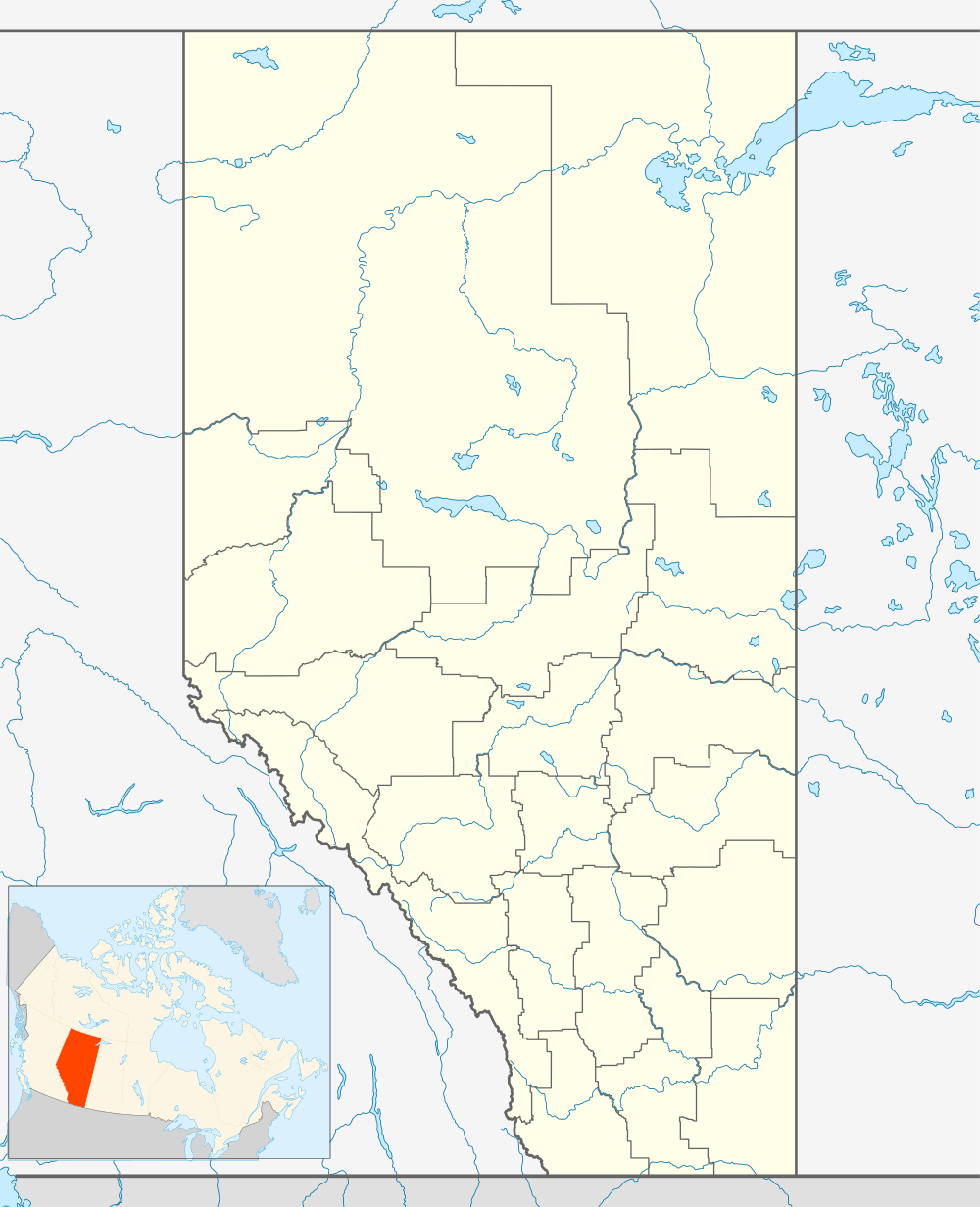 Location of Kipp in Alberta | |
| Coordinates: 49°45′30″N 112°57′26″W / 49.75833°N 112.95722°WCoordinates: 49°45′30″N 112°57′26″W / 49.75833°N 112.95722°W | |
| Country |
|
| Province |
|
| Region | Southern Alberta |
| Census division | 2 |
| Municipal district | Lethbridge County |
| Government | |
| • Governing body | Mayor of Kipp |
| Time zone | MST (UTC-7) |
| Postal code span | T0K 2H0 |
| Area code(s) | +1-403 |
| Highways | Highway 3 |
Kipp is a locality in Alberta, Canada within the Lethbridge County. It is located approximately 29 kilometres (18 mi) northwest of Lethbridge between Highway 3 and a Canadian Pacific Railway (CPR) line.
Kipp originally began as a trading post called Fort Kipp. Although not at the same location as the fort, Kipp takes its name from Fort Kipp.
See also
 |
Monarch | Nobleford | Shaughnessy | |
| Fort Macleod | |
Hardieville | ||
| ||||
| | ||||
| Stand Off | Coalhurst | Lethbridge |
| Subdivisions | |
|---|---|
| Communities | |
| Cities and urban service areas | |
| |
This article is issued from Wikipedia - version of the 6/24/2016. The text is available under the Creative Commons Attribution/Share Alike but additional terms may apply for the media files.