Koh Preab
| Native name: <span class="nickname" ">កោះព្រាប | |
|---|---|
 Koh Preab | |
| Geography | |
| Location | Cambodia - South East Asia |
| Coordinates | 10°40′N 103°30′E / 10.667°N 103.500°E |
| Area | 0.0046 km2 (0.0018 sq mi) |
| Length | 0.1 km (0.06 mi) |
| Width | 0.063–0.074 km (0.039–0.046 mi) |
| Highest elevation | 3 m (10 ft) |
| Administration | |
|
Cambodia | |
| Province | Sihanoukville |
| District | Sihanoukville |
| Demographics | |
| Ethnic groups | Khmer |
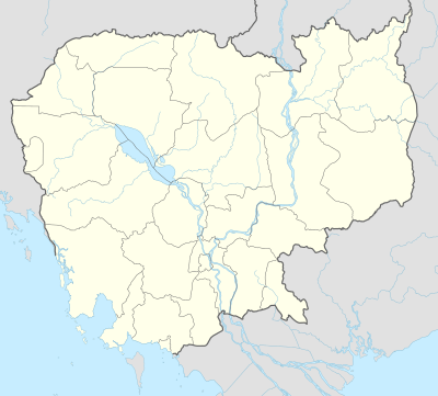
Koh Preab, Khmer: កោះព្រាប , "Dove Island", named "Île du Départ" during the French colonial period is an island of Cambodia, situated in the Bay of Kompong Saom Sihanoukville Province near its south-eastern coast. This small island has been integrated into the local harbor's breakwater just north of the Sihanoukville Autonomous Port. The estimate terrain elevation above sea level is 3 meters. A unit of the Royal Cambodian Navy is based on the island.[1]
See also
References
- ↑ "list of islands - Koh Preab". Cambodia islands – Island Species Cambodia. Retrieved 15 May 2016.
External links
- list of Cambodia's islands
- Koh Preab (Kaoh Preab)
- The geographical name data for Kaôh Préap in Cambodia
Coordinates: 10°40′N 103°30′E / 10.667°N 103.500°E
This article is issued from Wikipedia - version of the 11/17/2016. The text is available under the Creative Commons Attribution/Share Alike but additional terms may apply for the media files.