Kondajji
| Kondajji | |
|---|---|
| village | |
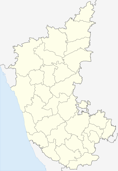 Kondajji  Kondajji Location in Karnataka, India | |
| Coordinates: 14°35′17″N 75°51′14″E / 14.588°N 75.854°ECoordinates: 14°35′17″N 75°51′14″E / 14.588°N 75.854°E | |
| Country |
|
| State | Karnataka |
| District | Davanagere district |
| Government | |
| • Type | Panchayat |
| • Body | Gram panchayat |
| Elevation | 530 m (1,740 ft) |
| Languages | |
| • Official | Kannada language |
| Time zone | IST (UTC+5:30) |
| Telephone code | (91) 08192 |
| ISO 3166 code | IN-KA |
| Vehicle registration | KA-17 |
| Taluka | Harihar |
| Distance from Davangere | 13 kilometres (8.1 mi) |
| Distance from Bangalore | 274 kilometres (170 mi) |
| Website |
karnataka |
Kondajji is a village in Harihar taluk, in the Davangere district, Karnataka. It is situated about 13 kilometres (8.1 mi) from the city of Davangere[1]
Kondajji is well known as a picnic spot and it is one of the major scout and guide training center in South India.[2] A lake runs through the centre of the village and the village is surrounded by minor hills.[1]
Power generation using wind energy has also been implemented by the state government.[3]
References
This article is issued from Wikipedia - version of the 10/13/2016. The text is available under the Creative Commons Attribution/Share Alike but additional terms may apply for the media files.