Kurabalakota
| Kurabalakota కురబలకోట | |
|---|---|
| Village | |
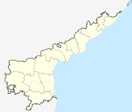 Kurabalakota  Kurabalakota Location in Andhra Pradesh, India | |
| Coordinates: 13°39′00″N 78°29′00″E / 13.6500°N 78.4833°ECoordinates: 13°39′00″N 78°29′00″E / 13.6500°N 78.4833°E | |
| Country | India |
| State | Andhra Pradesh |
| District | Chittoor |
| Mandal | Kurabalakota |
| Elevation | 764 m (2,507 ft) |
| Languages | |
| • Official | Telugu |
| Time zone | IST (UTC+5:30) |
| PIN | 517350 |
| Vehicle registration | AP |
Kurabalakota is a census town in Chittoor district of the Indian state of Andhra Pradesh. It is a mandal headquarters of Thamballapalle Constituency.[1]
Geography
Kurabalakota is located at 13°39′00″N 78°29′00″E / 13.6500°N 78.4833°E. It has an average elevation of 764 meters (2211 feet).[2] Latitude 13.6522 Longitude 78.4817 Lat (DMS) 13° 39' 8N Long (DMS) 78° 28' 54E
References
- ↑ "Chittoor District Mandals" (PDF). Census of India. pp. 465, 513. Retrieved 19 June 2015.
- ↑ "Maps, Weather, and Airports for Kurabalakota, India". fallingrain.com.
This article is issued from Wikipedia - version of the 12/2/2016. The text is available under the Creative Commons Attribution/Share Alike but additional terms may apply for the media files.