La Paz Aeroclub
| La Paz Aeroclub Aeroclub de La Paz | |||||||||||
|---|---|---|---|---|---|---|---|---|---|---|---|
| IATA: none – ICAO: SAMP | |||||||||||
| Summary | |||||||||||
| Airport type | Public | ||||||||||
| Serves | La Paz | ||||||||||
| Location | Argentina | ||||||||||
| Elevation AMSL | 220 ft / 67 m | ||||||||||
| Coordinates | 30°44′38.6″S 059°34′8.5″W / 30.744056°S 59.569028°WCoordinates: 30°44′38.6″S 059°34′8.5″W / 30.744056°S 59.569028°W | ||||||||||
| Map | |||||||||||
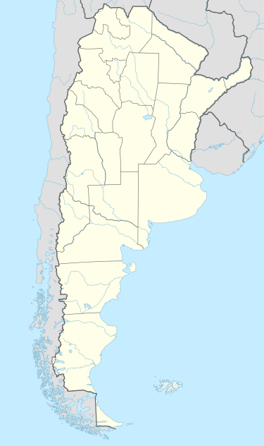 SAMP Location of La Paz Aeroclub in Argentina | |||||||||||
| Runways | |||||||||||
| |||||||||||
La Paz Aeroclub (Spanish: Aeroclub de La Paz, ICAO: SAMP) is a public use airport located 7 kilometres (4 mi) east-northeast of La Paz, Entre Ríos, Argentina.
See also
References
- ↑ Airport record for La Paz Aeroclub at Landings.com. Retrieved 2 September 2013
- ↑ Google (2 September 2013). "location of La Paz Aeroclub" (Map). Google Maps. Google. Retrieved 2 September 2013.
External links
- Airport record for La Paz Aeroclub at Landings.com
This article is issued from Wikipedia - version of the 11/9/2016. The text is available under the Creative Commons Attribution/Share Alike but additional terms may apply for the media files.