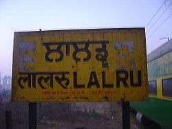
Lalru
| Lalru ਲਾਲੜੂ | |
|---|---|
| town | |
 | |
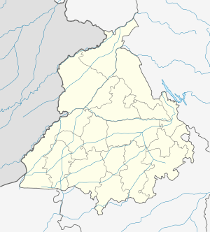 Lalru  Lalru Location in Punjab, India | |
| Coordinates: 30°29′12″N 76°48′02″E / 30.48667°N 76.80056°ECoordinates: 30°29′12″N 76°48′02″E / 30.48667°N 76.80056°E | |
| Country |
|
| State | Punjab |
| District | S.A.S Nagar (Mohali) |
| Population (2011) | |
| • Total | 25,000 |
| Languages | |
| • Official | Punjabi |
| Time zone | IST (UTC+5:30) |
| PIN | 140501 |
| Telephone code | 01762 |
| Vehicle registration | PB-70 |
| Nearest city | zirakpur, Derabassi |
| Literacy | 90% |
| Lok Sabha constituency | Patiala |
| Vidhan Sabha constituency | Banur |
Lalru is a small town about 35 km from Chandigarh, the capital of both Haryana and Indian Punjab, on the Chandigarh-Ambala National Highway, NH 22. Lalru is having one of the toll tax barrier on this Chandigarh - Delhi National Highway.[1]
See also
References
This article is issued from Wikipedia - version of the 8/25/2016. The text is available under the Creative Commons Attribution/Share Alike but additional terms may apply for the media files.