Land of the Yankee Fork State Park
| Land of the Yankee Fork State Park | |
| Idaho State Park | |
| Country | United States |
|---|---|
| State | Idaho |
| County | Custer |
| Location | Challis |
| - elevation | 5,001 ft (1,524 m) |
| - coordinates | 44°30′32″N 114°10′54″W / 44.508784°N 114.181793°WCoordinates: 44°30′32″N 114°10′54″W / 44.508784°N 114.181793°W |
| Area | 520.9 acres (210.8 ha) |
| Founded | 1990 [1] |
| Management | Idaho Department of Parks and Recreation |
| IUCN category | V - Protected Landscape/Seascape |
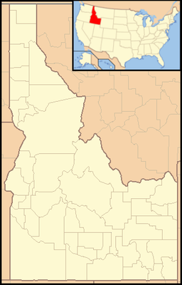 Location of Land of the Yankee Fork State Park in Idaho | |
| Website: Land of the Yankee Fork State Park | |
Land of the Yankee Fork State Park is a state park in Custer County, Idaho, United States.[2] The park interprets Idaho's frontier mining history, including the ghost towns Bayhorse, Bonanza, and Custer. The visitor center near Challis has a museum and gold panning station.
References
- ↑ "State Lands in Idaho: History". Idaho Museum of Natural History. Archived from the original on February 23, 2013. Retrieved 2011-03-04.
- ↑ "Land of the Yankee Fork State Park". Idaho Parks and Recreation. Archived from the original on February 23, 2013. Retrieved May 28, 2012.
This article is issued from Wikipedia - version of the 3/5/2013. The text is available under the Creative Commons Attribution/Share Alike but additional terms may apply for the media files.