Lavender Peak (British Columbia)
| Lavender Peak | |
|---|---|
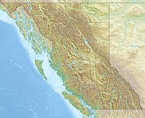 Lavender Peak Location in British Columbia | |
| Highest point | |
| Elevation | 2,306 m (7,566 ft) [1] |
| Prominence | 1,481 m (4,859 ft) [1] |
| Coordinates | 55°39′04″N 129°19′07″W / 55.65111°N 129.31861°WCoordinates: 55°39′04″N 129°19′07″W / 55.65111°N 129.31861°W [1] |
| Geography | |
| Location | British Columbia, Canada |
| Topo map | NTS 103/P11 |
Lavender Peak is a mountain peak in northwestern British Columbia, Canada.
References
- 1 2 3 "Lavender Peak". Bivouac.com. Retrieved 2009-01-25.
This article is issued from Wikipedia - version of the 12/23/2013. The text is available under the Creative Commons Attribution/Share Alike but additional terms may apply for the media files.