Leilachspitze
| Leilachspitze | |
|---|---|
|
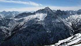
The Leilachspitze seen from the Litnisschrofen to the north | |
| Highest point | |
| Elevation | 2,274 m (AA) (7,461 ft) |
| Prominence | 399 m ↓ Kastenjoch |
| Isolation | 6.6 km → Stallkarspitze |
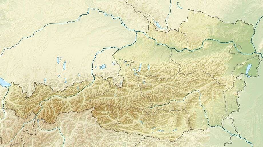
| Coordinates | 47°26′19″N 10°32′46″E / 47.43861°N 10.54611°ECoordinates: 47°26′19″N 10°32′46″E / 47.43861°N 10.54611°E |
| Geography | |
| Parent range | Allgäu Alps |
| Geology | |
| Age of rock | Triassic |
| Mountain type | main dolomite |
The Leilachspitze in the Allgäu Alps is a mountain, 2,274 m (AA), and the highest peak in the Vilsalpsee Mountains. It lies within the Austrian state of Tyrol.
Gallery
.jpg) View from the Lachenspitze of the Leilachspitze and Luchsköpfe
View from the Lachenspitze of the Leilachspitze and Luchsköpfe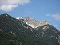 North Arête and summit block of the Leilachspitze from the east (Rauth)
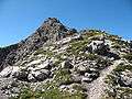 Northeast Arête (ascent from Rauth)
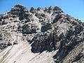 Southwest flank (ascent from the Landsberger Hut)
References
Literature
- Kompass walking, cycling and ski touring map: Sheet 04 Tannheimer Tal (1:35,000). ISBN 978-3-85491-644-4 (as at: February 2007)
External links
| Wikimedia Commons has media related to Leilachspitze. |
- Tour report – detailed report with map, photographs and information on the mountaineering requirements
This article is issued from Wikipedia - version of the 12/20/2015. The text is available under the Creative Commons Attribution/Share Alike but additional terms may apply for the media files.