Lesobeng Airport
| Lesobeng Airport | |||||||||||
|---|---|---|---|---|---|---|---|---|---|---|---|
| IATA: LES – ICAO: FXLS | |||||||||||
| Summary | |||||||||||
| Airport type | Public | ||||||||||
| Serves | Lesobeng | ||||||||||
| Elevation AMSL | ft / 2,174 m | ||||||||||
| Coordinates | 29°45′20″S 28°21′25″E / 29.75556°S 28.35694°ECoordinates: 29°45′20″S 28°21′25″E / 29.75556°S 28.35694°E | ||||||||||
| Map | |||||||||||
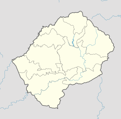 LES Location of the airport in Lesotho | |||||||||||
| Runways | |||||||||||
| |||||||||||
|
Source: Google Maps[1] | |||||||||||
Lesobeng Airport (IATA: LES, ICAO: FXLS) is an airport serving the community council of Lesobeng, Lesotho.
Caution: The airstrip sits atop a ridge with steep drops at either end. Recheck location carefully, as airport coordinates here[1] disagree with other online references.[2][3][4]
See also
- Transport in Lesotho
- List of airports in Lesotho
 Aviation portal
References
External links
- OpenStreetMap - Lesobeng
- Google Earth
This article is issued from Wikipedia - version of the 12/5/2016. The text is available under the Creative Commons Attribution/Share Alike but additional terms may apply for the media files.