Letterston
| Letterston | |
| Welsh: Treletert | |
 Letterston |
|
| Population | 1,245 (2011)[1] |
|---|---|
| OS grid reference | SM940297 |
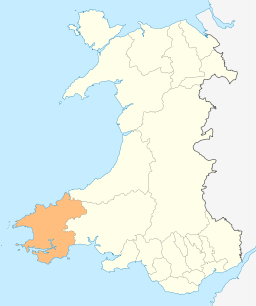
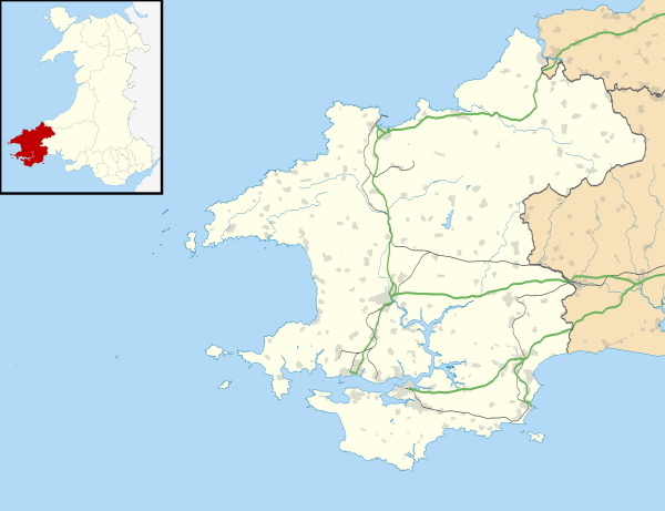
| Principal area | Pembrokeshire |
| Country | Wales |
| Sovereign state | United Kingdom |
| Post town | Milford Haven |
| Postcode district | SA62 5 |
| Dialling code | 01348 |
| Police | Dyfed-Powys |
| Fire | Mid and West Wales |
| Ambulance | Welsh |
| EU Parliament | Wales |
| UK Parliament | Preseli Pembrokeshire |
| Welsh Assembly | Preseli Pembrokeshire |
|
|
Coordinates: 51°55′37″N 4°59′46″W / 51.927°N 4.996°W
Letterston (Welsh: Treletert) is a rapidly growing village, parish and local government community in the north of the county of Pembrokeshire, southwest Wales between Haverfordwest 10 miles (16 km) south and Fishguard 6 1⁄2 miles (10 km) north on the A40 road.
Name
The village's name is derived from the medieval owners of the parish, the Lettard family.[2]
History
Twelve men of the parish died in World War 1 and six in World War 2; their names are commemorated on the War Memorial at the parish church of St Giles. [3]
Governance
An electoral ward in the same name exists. This ward stretches south west to Hayscastle. The total ward population taken at the 2011 Census was 2,352.[4]
Demographics
Letterston's population was 1,245, according to the 2011 census;[5] a 24.75% increase since the 998 people noted in 2001.[6]
The 2011 census showed 42.1% of the population could speak Welsh, a fall from 47.2% in 2001.[7]
References
- ↑ "Community population 2011". Retrieved 19 April 2015.
- ↑ "GENUKI: Letterston". Retrieved 6 March 2016.
- ↑ Letterston War Memorial
- ↑ "Ward population 2011". Retrieved 19 April 2015.
- ↑ "Area: Letterston (Parish)". Office for National Statistics. 30 January 2013. Retrieved 11 August 2015.
- ↑ "Area: Letterston (Parish)". Office for National Statistics. 18 November 2004. Retrieved 8 August 2015.
- ↑ "2011 Census results by Community". Welsh Language Commissioner. 2015. Retrieved 8 August 2015.