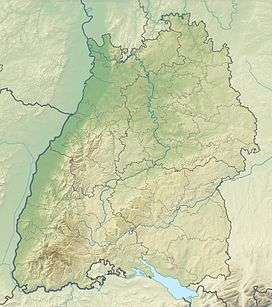
Lettstädter Höhe
| Lettstädter Höhe | |
|---|---|
|
On the Lettstädter Höhe | |
| Highest point | |
| Elevation | 966 m above sea level (NHN) (3,169 ft) |
| Coordinates | 48°26′03″N 8°15′20″E / 48.43417°N 8.25556°ECoordinates: 48°26′03″N 8°15′20″E / 48.43417°N 8.25556°E |
| Geography | |
 Lettstädter Höhe | |
| Parent range | Black Forest |
The Lettstädter Höhe is a mountain, 966 metres high, in the Central Black Forest in Germany, southwest of Kniebis.
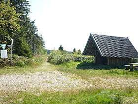
The Lettstädter Höhe lies in a walking region on the Westweg trail from Pforzheim to Basle on the seventh stage between the Alexanderschanze and the Bergbauernhof Hark.
This article is issued from Wikipedia - version of the 12/6/2015. The text is available under the Creative Commons Attribution/Share Alike but additional terms may apply for the media files.