Loi San
| Loi San | |
|---|---|
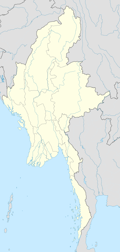 Loi San Location in Burma | |
| Highest point | |
| Elevation | 1,111 m (3,645 ft) [1] |
| Listing | List of mountains in Burma |
| Coordinates | 20°52′19″N 98°46′33″E / 20.87194°N 98.77583°ECoordinates: 20°52′19″N 98°46′33″E / 20.87194°N 98.77583°E [1] |
| Geography | |
| Location | Shan State, Myanmar |
| Parent range | Shan Hills |
| Climbing | |
| First ascent | unknown |
| Easiest route | climb |
Loi San is a mountain of the Shan Hills, in Shan State, Burma.[1]
Geography
Loi San is located about 2 km to the southeast of Möng Pu (Mongpu) in Mong Ping Township of Mongsat District, overlooking the Möng Pu valley.[2]
See also
References
External links
This article is issued from Wikipedia - version of the 11/7/2016. The text is available under the Creative Commons Attribution/Share Alike but additional terms may apply for the media files.