Lonevåg
| Lonevåg | |
|---|---|
| Village | |
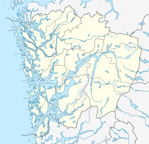 Lonevåg 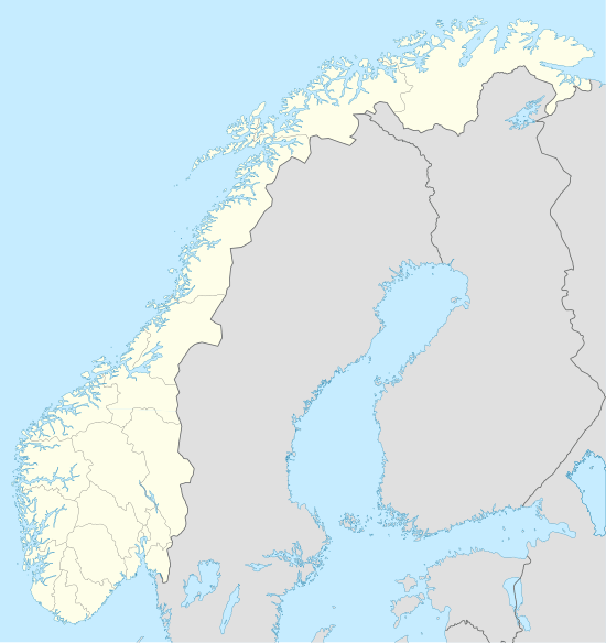 Lonevåg Location in Hordaland county | |
| Coordinates: 60°31′32″N 05°29′44″E / 60.52556°N 5.49556°ECoordinates: 60°31′32″N 05°29′44″E / 60.52556°N 5.49556°E | |
| Country | Norway |
| Region | Western Norway |
| County | Hordaland |
| District | Nordhordland |
| Municipality | Osterøy |
| Area[1] | |
| • Total | 0.92 km2 (0.36 sq mi) |
| Elevation[2] | 2 m (7 ft) |
| Population (2013)[1] | |
| • Total | 816 |
| • Density | 887/km2 (2,300/sq mi) |
| Time zone | CET (UTC+01:00) |
| • Summer (DST) | CEST (UTC+02:00) |
| Post Code | 5282 Lonevåg |
Lonevåg is the administrative centre of Osterøy municipality in Hordaland county, Norway. The village is located on the northern coast of the island of Osterøy, at the end of the 5-kilometre (3.1 mi) long Lonevågen fjord, which branches off the main Osterfjorden. The 0.92-square-kilometre (230-acre) village has a population (2013) of 816, giving the village a population density of 887 inhabitants per square kilometre (2,300/sq mi).[1] There is some shops and small industry in the village.[3]
References
- 1 2 3 Statistisk sentralbyrå (1 January 2013). "Urban settlements. Population and area, by municipality.".
- ↑ "Lonevåg" (in Norwegian). yr.no. Retrieved 2014-04-25.
- ↑ Store norske leksikon. "Lonevåg" (in Norwegian). Retrieved 2014-04-25.
This article is issued from Wikipedia - version of the 8/4/2016. The text is available under the Creative Commons Attribution/Share Alike but additional terms may apply for the media files.