Maddington Falls, Quebec
| Maddington Falls | |
|---|---|
| Municipality | |
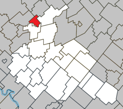 Location within Arthabaska RCM. | |
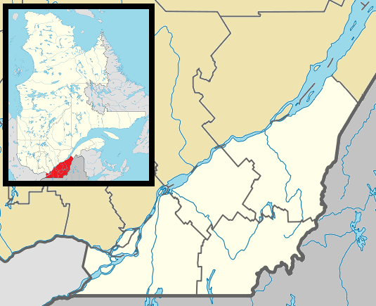 Maddington Falls Location in southern Quebec. | |
| Coordinates: 46°13′N 72°08′W / 46.217°N 72.133°WCoordinates: 46°13′N 72°08′W / 46.217°N 72.133°W[1] | |
| Country |
|
| Province |
|
| Region | Centre-du-Québec |
| RCM | Arthabaska |
| Constituted | January 11, 1902 |
| Named for | Maddington, Wiltshire[1] |
| Government[2] | |
| • Mayor | Normand Soucy |
| • Federal riding | Richmond—Arthabaska |
| • Prov. riding | Nicolet-Bécancour |
| Area[2][3] | |
| • Total | 24.30 km2 (9.38 sq mi) |
| • Land | 23.85 km2 (9.21 sq mi) |
| Population (2011)[3] | |
| • Total | 443 |
| • Density | 18.6/km2 (48/sq mi) |
| • Pop 2006-2011 |
|
| Time zone | EST (UTC−5) |
| • Summer (DST) | EDT (UTC−4) |
| Postal code(s) | G0Z 1C0 |
| Area code(s) | 819 |
| Highways |
|
| Website |
www |
Maddington Falls, Quebec is a municipality located in the Centre-du-Québec region of Quebec, Canada.
On June 20, 2015, the township municipality of Maddington was changed to municipality of Maddington Falls.[4]
References
- 1 2 Reference number 425005 of the Commission de toponymie du Québec (French)
- 1 2 Geographic code 39165 in the official Répertoire des municipalités (French)
- 1 2 "(Code 2439165) Census Profile". 2011 census. Statistics Canada. 2012.
- ↑ Reference number 37859 of the Commission de toponymie du Québec (French)
 |
Lemieux | | ||
| Saint-Sylvère | |
Saint-Louis-de-Blandford | ||
| ||||
| | ||||
| Daveluyville Sainte-Anne-du-Sault |
| Cities | |
|---|---|
| Municipalities | |
| Parishes | |
| Townships | |
| |
This article is issued from Wikipedia - version of the 11/23/2016. The text is available under the Creative Commons Attribution/Share Alike but additional terms may apply for the media files.