Magabeni
| Magabeni | |
|---|---|
 Magabeni  Magabeni  Magabeni
| |
|
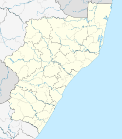
Location within Durban 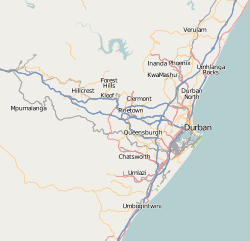 Magabeni | |
| Coordinates: 30°10′12″S 30°46′01″E / 30.170°S 30.767°ECoordinates: 30°10′12″S 30°46′01″E / 30.170°S 30.767°E | |
| Country | South Africa |
| Province | KwaZulu-Natal |
| Municipality | eThekwini |
| Government | |
| • Councillor | Enoch Bayeni (African National Congress) |
| Area[1] | |
| • Total | 1.74 km2 (0.67 sq mi) |
| Population (2011)[1] | |
| • Total | 4,928 |
| • Density | 2,800/km2 (7,300/sq mi) |
| Racial makeup (2011)[1] | |
| • Black African | 99.8% |
| • Coloured | 0.1% |
| • Indian/Asian | 0.1% |
| First languages (2011)[1] | |
| • Zulu | 93.6% |
| • Xhosa | 2.2% |
| • English | 1.5% |
| • Other | 2.7% |
| Postal code (street) | 4170 |
| Area code | 031 |
Magabeni (also known as Magabheni) is a small township in the south of Durban, at Umkomaas, in the KwaZulu-Natal province of South Africa. It is part of eThekwini Metropolitan Municipality.
References
- 1 2 3 4 "Main Place Magabeni". Census 2011.
Communities of eThekwini Metropolitan Municipality, KwaZulu-Natal | |||||||||||||||
|---|---|---|---|---|---|---|---|---|---|---|---|---|---|---|---|
Seat: Durban | |||||||||||||||
| Cities and towns |
| .svg.png) | |||||||||||||
| Suburbs of Durban |
| ||||||||||||||
This article is issued from Wikipedia - version of the 8/11/2016. The text is available under the Creative Commons Attribution/Share Alike but additional terms may apply for the media files.