Mainvilliers, Loiret
| Mainvilliers | |
|---|---|
 Mainvilliers | |
|
Location within Centre-Val de Loire region 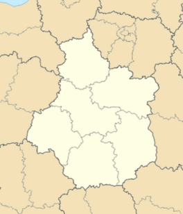 Mainvilliers | |
| Coordinates: 48°18′05″N 2°16′49″E / 48.3014°N 2.2803°ECoordinates: 48°18′05″N 2°16′49″E / 48.3014°N 2.2803°E | |
| Country | France |
| Region | Centre-Val de Loire |
| Department | Loiret |
| Arrondissement | Pithiviers |
| Canton | Malesherbes |
| Government | |
| • Mayor (2001–2008) | Francis Roux |
| Area1 | 10.30 km2 (3.98 sq mi) |
| Population (2006)2 | 226 |
| • Density | 22/km2 (57/sq mi) |
| Time zone | CET (UTC+1) |
| • Summer (DST) | CEST (UTC+2) |
| INSEE/Postal code | 45190 / 45330 |
| Elevation | 117–140 m (384–459 ft) |
|
1 French Land Register data, which excludes lakes, ponds, glaciers > 1 km² (0.386 sq mi or 247 acres) and river estuaries. 2 Population without double counting: residents of multiple communes (e.g., students and military personnel) only counted once. | |
Mainvilliers is a former commune in the Loiret department in north-central France. On 1 January 2016, it was merged into the new commune of Le Malesherbois.[1]
See also
References
- ↑ Arrêté préfectoral 30 November 2015
| Wikimedia Commons has media related to Mainvilliers (Loiret). |
This article is issued from Wikipedia - version of the 2/20/2016. The text is available under the Creative Commons Attribution/Share Alike but additional terms may apply for the media files.