Major, Saskatchewan
For other uses, see Major (disambiguation).
| Village of Major | |
|---|---|
| Village | |
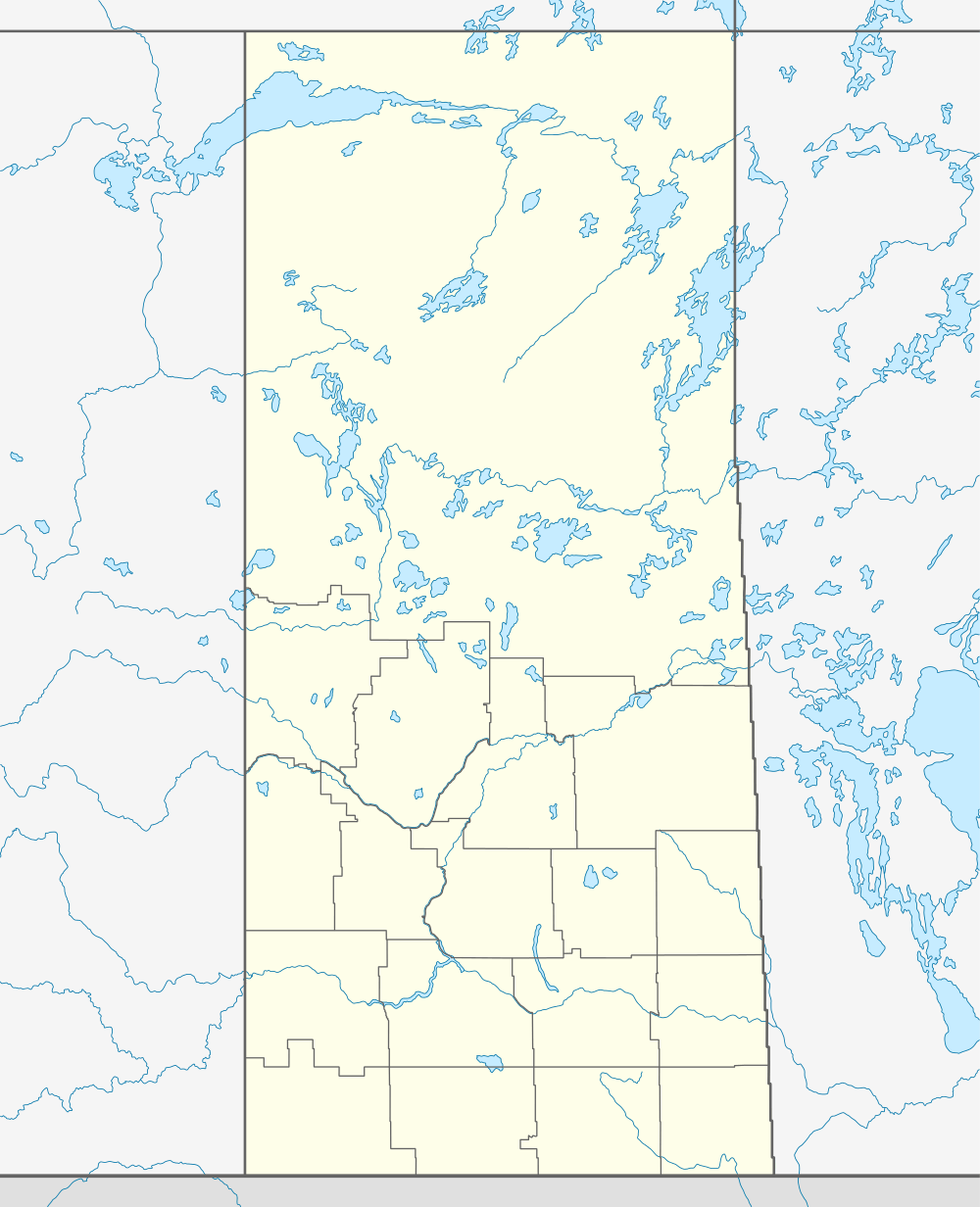  Location of Major in Saskatchewan | |
| Coordinates: 51°52′23″N 109°36′47″W / 51.873°N 109.613°W | |
| Country | Canada |
| Province | Saskatchewan |
| Region | Saskatchewan |
| Census division | 13 |
| Rural Municipality | Website - www.major.ca |
| Post office Founded | N/A |
| Incorporated (Village) | N/A |
| Incorporated (Town) | N/A |
| Government | |
| • Mayor | Veryl Richelhoff |
| • Administrator | Kelly Cooper |
| • Governing body | Major Village Council |
| Area | |
| • Total | 2.68 km2 (1.03 sq mi) |
| Population (2006) | |
| • Total | 67 |
| • Density | 30.2/km2 (78/sq mi) |
| Time zone | CST |
| Postal code | S0L 2H0 |
| Area code(s) | 306 |
| Highways | Highway 51 |
| [1][2][3][4] | |
Major is a village in the Canadian province of Saskatchewan.
Demographics
| Canada census – Major, Saskatchewan community profile | |||
|---|---|---|---|
| 2001 | |||
| Population: | 81 (12.5% from 1996) | ||
| Land area: | 2.68 km2 (1.03 sq mi) | ||
| Population density: | 30.2/km2 (78/sq mi) | ||
| Median age: | 34.0 (M: 33.8, F: 38.5) | ||
| Total private dwellings: | 44 | ||
| Median household income: | $NA | ||
| References: 2001[5] | |||
Major is populated mostly with farmers. There is a post office, a credit union, a motel/bar/café, a convenience/coffee/consignment store, an insurance office and a car detailing shop.
See also
 |
Macklin | Hearts Hill Denzil |
Luseland | |
| Fusilier Alberta |
|
Superb Kerrobert | ||
| ||||
| | ||||
| Hooser Loverna |
Dewar Lake | Similey |
External links
- Saskatchewan City & Town Maps
- Saskatchewan Gen Web - One Room School Project
- Post Offices and Postmasters - ArchiviaNet - Library and Archives Canada
- Saskatchewan Gen Web Region
- Online Historical Map Digitization Project
- GeoNames Query
- 2001 Community Profiles
Footnotes
- ↑ National Archives, Archivia Net, Post Offices and Postmasters
- ↑ Government of Saskatchewan, MRD Home, Municipal Directory System, archived from the original (– Scholar search) on November 21, 2008
- ↑ Canadian Textiles Institute. (2005), CTI Determine your provincial constituency
- ↑ Commissioner of Canada Elections, Chief Electoral Officer of Canada (2005), Elections Canada On-line
- ↑ "2001 Community Profiles". Canada 2001 Census. Statistics Canada. February 17, 2012.
| Subdivisions | |
|---|---|
| Communities | |
| Cities | |
| Topics |
|
| |
Coordinates: 51°52′23″N 109°36′47″W / 51.873°N 109.613°W
This article is issued from Wikipedia - version of the 9/10/2016. The text is available under the Creative Commons Attribution/Share Alike but additional terms may apply for the media files.