Makat
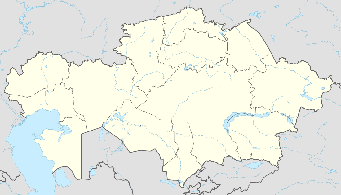
Coordinates: 47°39′00″N 53°19′00″E / 47.65000°N 53.31667°E
| Makat Мақат Макат ماقات | |
|---|---|
 Makat | |
| Coordinates: 47°39′00″N 53°19′00″E / 47.65000°N 53.31667°E | |
| Country |
|
| Region | Atyrau |
| Elevation | -22 m (−72 ft) |
| Population | |
| • Total | 14,082 |
| Time zone | West Kazakhstan Time (UTC+5) |
| • Summer (DST) | West Kazakhstan Time (UTC+5) |
Makat (also known as Maqat[1] (Russian: Макат, Makat, Kazakh: Мақат, Maqat, ماقات)) is a town in Atyrau Region, west Kazakhstan. It lies at an altitude of 22 m (72 ft) below sea level. It has a population of 14,082.[1]
References
- 1 2 "Maqat, Kazakhstan - P PPL 608872". GeoNames. Retrieved September 25, 2016.
Capital: Atyrau | ||
| Districts |  | |
| Major cities | ||
| Towns and villages |
| |
This article is issued from Wikipedia - version of the 9/25/2016. The text is available under the Creative Commons Attribution/Share Alike but additional terms may apply for the media files.