Malipukur
| Malipukur মালিপুকুর | |
|---|---|
| Village | |
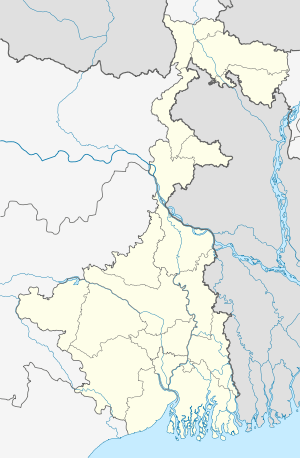 Malipukur  Malipukur Location in West Bengal, India | |
| Coordinates: 22°45′43″N 88°12′48″E / 22.7618937°N 88.2134692°ECoordinates: 22°45′43″N 88°12′48″E / 22.7618937°N 88.2134692°E | |
| Country |
|
| State | West Bengal |
| District | Hooghly |
| Government | |
| • Type | Panchayati raj (India) |
| • Body | Gram panchayat |
| Population (2011) | |
| • Total | 945 |
| Languages | |
| • Official | Bengali, English |
| Time zone | IST (UTC+5:30) |
| Vehicle registration | WB |
| Lok Sabha constituency | Serampore |
| Vidhan Sabha constituency | Chanditala |
| Website |
wb |
Malipukur (Bengali: মালিপুকুর) is a Village in Hooghly district in the state of West Bengal, India. It is under Chanditala police station. in Srirampore subdivision.[1]
Geography
Malipukur is located at: 22°45′43″N 88°12′48″E / 22.7618937°N 88.2134692°E
Gangadharpur Gram panchayat
Gangadharpur Gram panchayat Area
Gangadharpur Gram panchayat
- Flower us gram panchayat towns & Villages : Manirampur, Gangadharpur , Malipukur , Bankrishnapur.
- Market : Ganngadharpur Bazar, Hajaghata, Manirampur .
Gangadharpur Gram panchayat in Chanditala I (community development block).
Roads and transportation
Nearest railway station is Baruipara at Howrah-Bardhaman chord Kolkata Suburban Railway . The main road is 31 Number Road It is the main artery of the town and it is connected NH2 & Grand Trunk Road . There is 31 Number Bus service Jangipara Bus Stand to Serampore Bus Stand Via Sehakhala, Banmalipur, Gangadharpur , Baruipara , Bora .
References
- ↑ "banglarbhumi.gov.in". WEST BENGAL ->HUGLI(হুগলী) ->CHANDITALA-I (চণ্ডীতলা-১) Mouza Information.
This article is issued from Wikipedia - version of the 10/18/2016. The text is available under the Creative Commons Attribution/Share Alike but additional terms may apply for the media files.