Mamouroudou
| Mamouroudou | |
|---|---|
| Sub-prefecture | |
 Mamouroudou Location in Guinea | |
| Coordinates: 9°24′N 9°21′W / 9.400°N 9.350°W | |
| Country |
|
| Region | Kankan Region |
| Prefecture | Kankan Prefecture |
| Population (2014) | |
| • Total | 14,609 |
| Time zone | GMT (UTC+0) |
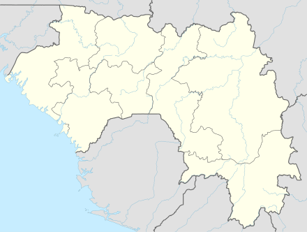
Mamouroudou is a sub-prefecture in the Kankan Prefecture in the Kankan Region of eastern Guinea.[1] As of 2014 it had a population of 14,609 people.[2]
References
- ↑ "Subprefectures of Guinea". Statoids. Retrieved April 19, 2009.
- ↑ "Guinea". Institut National de la Statistique, Guinea, accessed via Geohive. Retrieved 12 September 2014.
Coordinates: 9°24′N 9°21′W / 9.400°N 9.350°W
Capital: Kankan | ||
| Sub-prefectures | 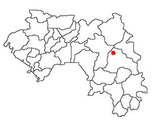 | |
This article is issued from Wikipedia - version of the 9/12/2014. The text is available under the Creative Commons Attribution/Share Alike but additional terms may apply for the media files.