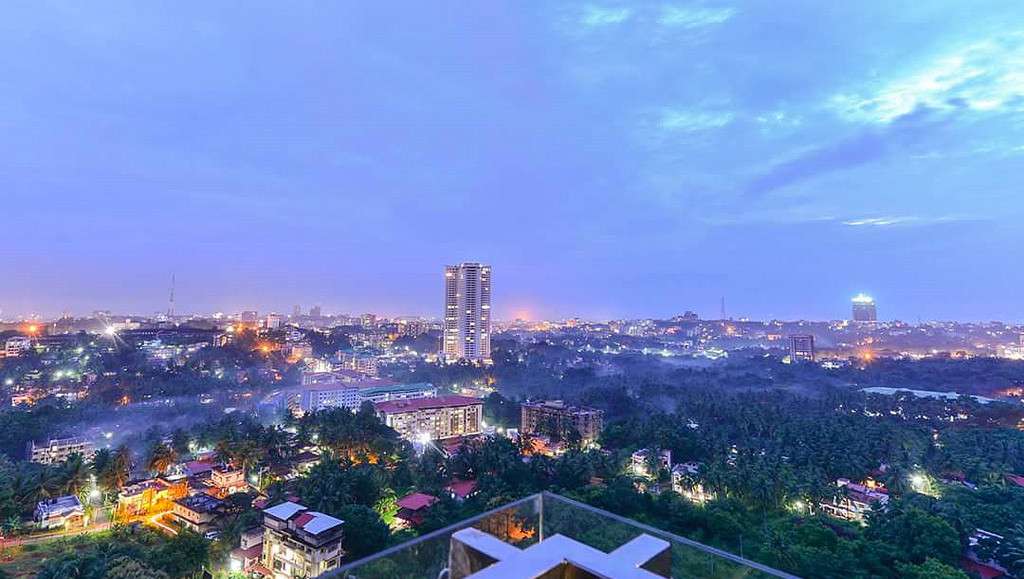
Mangalore taluk
| Mangalore Taluk | |
|---|---|
| Taluk | |
 | |
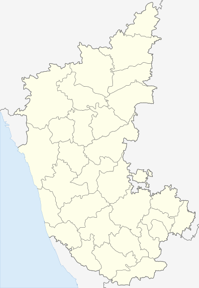 Mangalore Taluk  Mangalore Taluk Location in Karnataka, India | |
| Coordinates: 12°54′N 74°54′E / 12.9°N 74.9°ECoordinates: 12°54′N 74°54′E / 12.9°N 74.9°E | |
| Country |
|
| State | Karnataka |
| District | Dakshina Kannada |
| Region | Coastal Karnataka |
| Headquarters | Mangalore City |
| Government | |
| • Type | Panchayat raj |
| • Body | Gram panchayat |
| Area | |
| • Total | 834 km2 (322 sq mi) |
| Population (2011) | |
| • Total | 994,602 |
| • Density | 1,200/km2 (3,100/sq mi) |
| Languages | |
| • Administrative | Kannada, English |
| • Regional | Tulu, Konkani, Beary Bhashe |
| Time zone | IST (UTC+5:30) |
| ISO 3166 code | IN-KA |
| Vehicle registration | KA 19 |
| Website |
karnataka |
Mangalore taluk is a taluk (subdistrict) in the Dakshina Kannada district, Karnataka on the western coast of India. Mangalore is the administrative headquarters of the taluk. There are forty-nine panchayat villages in Mangalore taluk.[1] It covers an area of 834 square kilometres (322 sq mi).[2]
References
- ↑ "Reports of National Panchayat Directory: Village Panchayat Names of Mangalore, Dakshin Kannad, Karnataka". Ministry of Panchayati Raj, Government of India.
- ↑ "District Statistics (2010-11) Part-I" (PDF). Dakshina Kannada District. p. 8.
External links
This article is issued from Wikipedia - version of the 11/17/2016. The text is available under the Creative Commons Attribution/Share Alike but additional terms may apply for the media files.