Manigramam, Tamil Nadu
| Manigramam Maninagar | |
|---|---|
| village | |
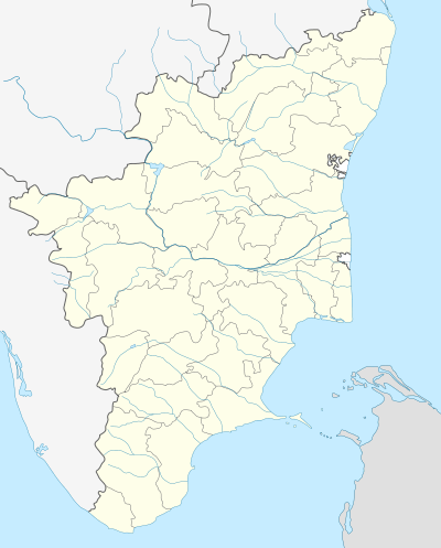 Manigramam  Manigramam Location in Tamil Nadu, India | |
| Coordinates: 11°09′52″N 79°49′01″E / 11.1645300°N 79.8168300°ECoordinates: 11°09′52″N 79°49′01″E / 11.1645300°N 79.8168300°E | |
| Country |
|
| State | Tamil Nadu |
| District | Nagapattinam |
| Languages | |
| • Official | Tamil |
| Time zone | IST (UTC+5:30) |
| PIN | 609114 |
| Telephone code | 04364 |
| Nearest city | Mayiladuthurai, Sirkazhi |
| Lok Sabha constituency | Mayiladuthurai |
| Vidhan Sabha constituency | Poompuhar |
Manigramam is a village in Nagapattinam district in the southern Indian state of Tamil Nadu.[1] It is located 25 km from Mayiladuthurai (Mayuram), 18 km from Sirkali, 5 km from Poompuhar, 2 km from Thiruvengadu. Famous Thirumani Azhagar temple is located in this village. Other than this, Mariyamman temple, PiraiVeeran temple, Mosque and Church decorate the village.
Nearest Railway Station : Sirkazhi, Mayiladuthurai
Nearest Airport : Tiruchy
References
- ↑ "Yahoo Maps India : Manigramam, Nagapattinam". Retrieved 2009-01-12.
This article is issued from Wikipedia - version of the 8/25/2016. The text is available under the Creative Commons Attribution/Share Alike but additional terms may apply for the media files.