Manito Township, Mason County, Illinois
| Manito Township | |
| Township | |
| Country | United States |
|---|---|
| State | Illinois |
| County | Mason |
| Elevation | 489 ft (149.0 m) |
| Coordinates | 40°23′27″N 89°46′15″W / 40.39083°N 89.77083°WCoordinates: 40°23′27″N 89°46′15″W / 40.39083°N 89.77083°W |
| Area | 43.77 sq mi (113 km2) |
| - land | 43.77 sq mi (113 km2) |
| - water | 0 sq mi (0 km2) |
| Population | 2,466 (2010) |
| Density | 56.3/sq mi (21.7/km2) |
| Settled | November 5, 1861 |
| Timezone | CST (UTC-6) |
| - summer (DST) | CDT (UTC-5) |
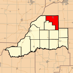 Location in Mason County | |
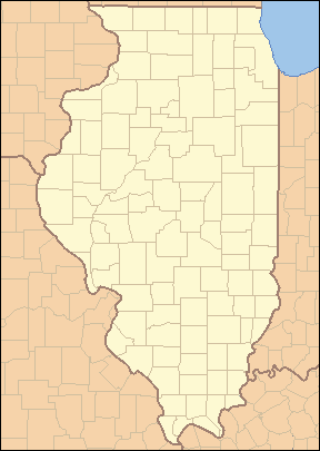 Location of Manito Township in Illinois | |
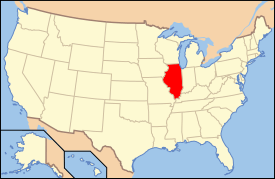 Location of Illinois in the United States | |
Manito Township is located in Mason County, Illinois, United States. As of the 2010 census, its population was 2,466 and it contained 1,088 housing units.[1]
Geography
According to the 2010 census, the township has a total area of 43.77 square miles (113.4 km2), all land.[1]
References
- 1 2 "Population, Housing Units, Area, and Density: 2010 - County -- County Subdivision and Place -- 2010 Census Summary File 1". United States Census. Retrieved 2013-05-28.
External links
Municipalities and communities of Mason County, Illinois, United States | ||
|---|---|---|
| Cities | ||
| Town | ||
| Villages | ||
| Townships | ||
| CDP | ||
| Other unincorporated communities |
| |
| Footnotes | ‡This populated place also has portions in an adjacent county or counties | |

This article is issued from Wikipedia - version of the 5/6/2014. The text is available under the Creative Commons Attribution/Share Alike but additional terms may apply for the media files.