Mankundu
| Mankundu | |
|---|---|
| Town | |
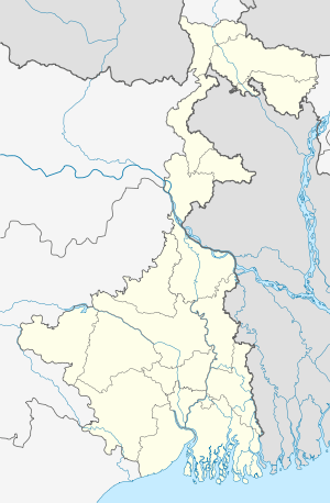 Mankundu  Mankundu Location in West Bengal, India | |
| Coordinates: 22°50′N 88°20′E / 22.84°N 88.34°ECoordinates: 22°50′N 88°20′E / 22.84°N 88.34°E | |
| Country |
|
| State | West Bengal |
| District | Hooghly |
| Elevation | 17.24 m (56.56 ft) |
| Languages | |
| • Official | Bengali |
| Time zone | IST (UTC+5:30) |
| PIN | 712139 |
| Telephone code | 033 |
| Vehicle registration | WB 16 & 18 |
| Nearest city | Chandannagar |
| Lok Sabha constituency | Hooghly |
| Vidhan Sabha constituency | Chandannagar |
Mankundu is a small suburb town under greater Kolkata. The name Mankundu comes from a prehistoric era when King Man Singh sent a few soldiers to defeat the then mog dacoits in 17th era.
Geography
Mankundu situated in Latitude: 22°84'N & Longitude: 88°34'E. It is served by a railway station by its own name in Howrah-Bandel main line section.
Education
Mankundu has an AICTE affiliated engineering college named Supreme Knowledge Foundation Group of Institutions.
References
This article is issued from Wikipedia - version of the 10/30/2016. The text is available under the Creative Commons Attribution/Share Alike but additional terms may apply for the media files.