Mayor FAP Guillermo Protset del Castillo Airport
| Mayor FAP Guillermo Protset del Castillo Airport | |||||||||||
|---|---|---|---|---|---|---|---|---|---|---|---|
| IATA: none – ICAO: SPVT | |||||||||||
| Summary | |||||||||||
| Airport type | Public | ||||||||||
| Serves | Vitor | ||||||||||
| Elevation AMSL | 5,145 ft / 1,568 m | ||||||||||
| Coordinates | 16°25′30″S 71°50′05″W / 16.42500°S 71.83472°WCoordinates: 16°25′30″S 71°50′05″W / 16.42500°S 71.83472°W | ||||||||||
| Map | |||||||||||
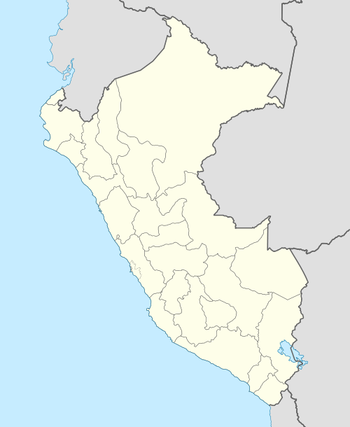 SPVT Location of the airport in Peru | |||||||||||
| Runways | |||||||||||
| |||||||||||
|
Source: Google Maps[1] | |||||||||||
Vitor Airport (ICAO: SPVT) is an airport serving the town of Vitor in the Arequipa Region of Peru.
See also
References
External links
- OpenStreetMap - Vitor
- Airport information for SPVT at Great Circle Mapper.
This article is issued from Wikipedia - version of the 12/5/2016. The text is available under the Creative Commons Attribution/Share Alike but additional terms may apply for the media files.