McMullin, California
Coordinates: 36°39′27″N 119°58′08″W / 36.65750°N 119.96889°W
| McMullin | |
|---|---|
| Former settlement | |
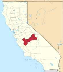
 McMullin Location in California | |
| Coordinates: 36°39′27″N 119°58′08″W / 36.65750°N 119.96889°W | |
| Country | United States |
| State | California |
| County | Fresno County |
| Elevation[1] | 226 ft (69 m) |
McMullin is a former settlement in Fresno County, California.[1] It was located on the Southern Pacific Railroad 12.5 miles (20 km) southwest of downtown Fresno,[2] at an elevation of 226 feet (69 m).[1] It still appeared on maps as of 1923.[1]
References
This article is issued from Wikipedia - version of the 1/15/2011. The text is available under the Creative Commons Attribution/Share Alike but additional terms may apply for the media files.