Meade River
| Meade River | |
| Country | United States |
|---|---|
| State | Alaska |
| Borough | North Slope |
| Source | Kulugra Ridge |
| - location | National Petroleum Reserve–Alaska |
| - elevation | 891 ft (272 m) [1] |
| - coordinates | 69°21′42″N 158°42′22″W / 69.36167°N 158.70611°W [2] |
| Mouth | Admiralty Bay |
| - location | Beaufort Sea |
| - elevation | 0 ft (0 m) [2] |
| - coordinates | 70°54′12″N 155°57′27″W / 70.90333°N 155.95750°WCoordinates: 70°54′12″N 155°57′27″W / 70.90333°N 155.95750°W [2] |
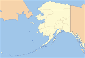 Location of the mouth of the Meade River in Alaska
| |
The Meade River flows into Admiralty Bay along the North Slope of the U.S. state of Alaska.[2] It begins near Kulugra Ridge in the National Petroleum Reserve–Alaska and flows generally north past Atqasuk to the bay at the southern end of Dease Inlet on the Beaufort Sea.[3]
See also
References
- ↑ Source elevation derived from Google Earth search using GNIS source coordinates.
- 1 2 3 4 "Meade River". Geographic Names Information System. United States Geological Survey. January 1, 2000. Retrieved September 7, 2013.
- ↑ Alaska Atlas & Gazetteer (7th ed.). Yarmouth, Maine: DeLorme. 2010. p. 135. ISBN 978-0-89933-289-5.
This article is issued from Wikipedia - version of the 9/10/2016. The text is available under the Creative Commons Attribution/Share Alike but additional terms may apply for the media files.