Medagama
Coordinates: 7°2′7.97″N 81°16′32.34″E / 7.0355472°N 81.2756500°E
| Medagama මැදගම | |
|---|---|
| Village | |
|
A little description about Medagama | |
| Coordinates: LK 7°2′7.972″N 81°16′32.341″E / 7.03554778°N 81.27565028°E | |
| Country |
|
| Province | Uva Province |
| District | Monaragala |
| Government | |
| • Type | Pradeshiya Saba |
| • Pradeshiya Sabapathi | Mr.Ranjith Piyadigama |
| Time zone | Sri Lanka Standard Time (UTC+5:30) |
| Postal Code | 91550 |
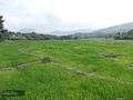
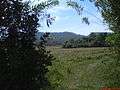
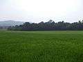
Medagama is a village in Sri Lanka. It is located within the Uva Province. It is placed in the middle of a mountain range.This is the reason it's named Medagama (Meda=middle Gama=Village).
Schools
- Medagama National School
- Dahagoniya Kanitu Viduhala
- Kandavinna Vidyalaya
- Monaravana Kanitu Viduhala
- Bakinigahawela Sinhala Vidyalaya
- Medagama Muslim School
- Bakinigahawela Muslim School
Hospitals
- Medagama Central Hospital
- Bakinigahawela Dispensary
- Senpathigama Dispensary
Religious Places
- Medagama Sri Anandarama Viharaya
- Thimbiriya Purana Rajamaha Viharaya
- Kandavinna Viharaya
- kinnarabova Viharaya
- Nilvalagoda Viharaya
- Pothubandana Rajamaha Viharaya
- kotabowa Devalaya
Public Banks
- Bank of Ceylon
- Peoples Bank
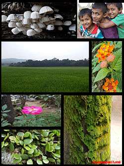
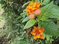
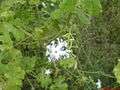
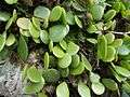
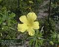
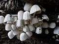
Gallery
.jpg)


External links
This article is issued from Wikipedia - version of the 10/22/2015. The text is available under the Creative Commons Attribution/Share Alike but additional terms may apply for the media files.