Mississauga First Nation
| Mississagi River 8 Misswezahging | ||
|---|---|---|
| Indian reserve | ||
| Mississagi River Indian Reserve No. 8 | ||
 | ||
| ||
 Mississagi River 8 | ||
| Coordinates: 46°13′N 83°00′W / 46.217°N 83.000°WCoordinates: 46°13′N 83°00′W / 46.217°N 83.000°W | ||
| Country |
| |
| Province |
| |
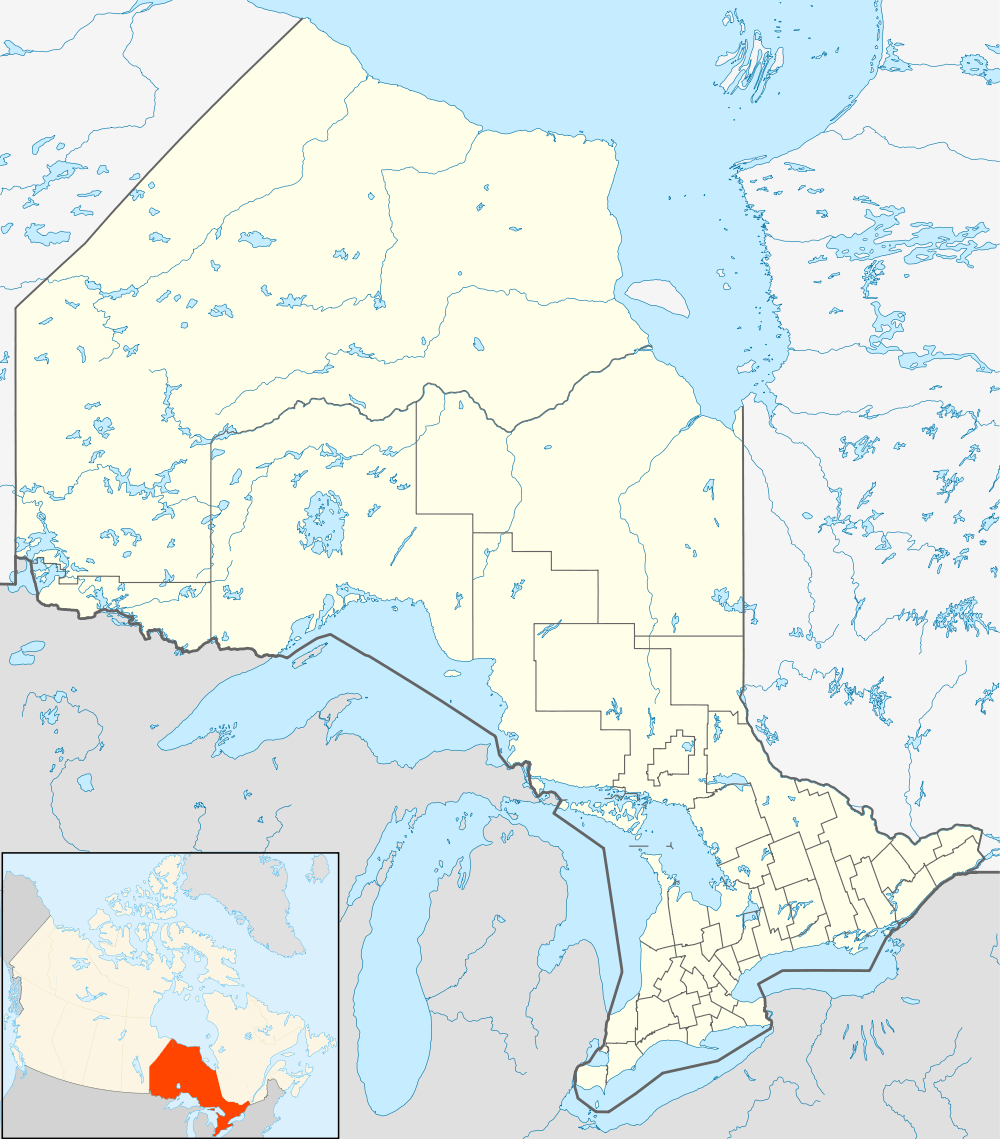
| District | Algoma | |
| First Nation | Mississauga | |
| Area[1] | ||
| • Land | 18.41 km2 (7.11 sq mi) | |
| Population (2011)[1] | ||
| • Total | 390 | |
| • Density | 21.2/km2 (55/sq mi) | |
| Time zone | EST (UTC-5) | |
| • Summer (DST) | EDT (UTC-4) | |
| Website | www.mississaugi.com | |
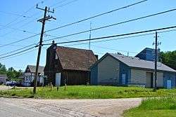
Mississauga First Nation is one of the five First Nations that make up the Mississauga Nations. It is located directly west of Blind River, Ontario, Canada, on the Mississagi River 8 Reserve.[2]
Name
The word Mississauga is an anglicized version of the Ojibwe word Misswezahging, which means ‘a river with many outlets.’ This name comes from the Mississaugi River, which is a bird-foot delta, a haven for fish and waterfowl and is currently a jointly managed Provincial Park.
References
- 1 2 "Mississagi River 8 census profile". 2011 Census of Population. Statistics Canada. Retrieved 3 June 2015.
- ↑ "Mississisauga 8", First Nation, Canada Archived July 22, 2010, at the Wayback Machine.
External links
- The Smoke Signal, Mississaugi First Nation News
- "Mississisauga", Indian and Northern Affairs Canada
 |
Unorganized North Algoma | |
Blind River | |
| |
||||
| ||||
| | ||||
| Blind River | |
Blind River |
Mississauga First Nation Logo
| Cities | 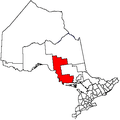 | |
|---|---|---|
| Towns | ||
| Townships | ||
| Villages | ||
| First Nations | ||
| Indian reserves | ||
| Local services boards | ||
| Unorganized areas | ||
| ||
This article is issued from Wikipedia - version of the 11/17/2016. The text is available under the Creative Commons Attribution/Share Alike but additional terms may apply for the media files.