Mnjikaning First Nation 32
| Mnjikaning First Nation 32 | |
|---|---|
| Indian reserve | |
| Mnjikaning First Nation (Rama First Nation) Indian Reserve No. 32 | |
 Mnjikaning First Nation 32 | |
| Coordinates: 44°42′N 79°18′W / 44.700°N 79.300°WCoordinates: 44°42′N 79°18′W / 44.700°N 79.300°W | |
| Country |
|
| Province |
|
| County | Simcoe |
| First Nation | Chippewas of Rama |
| Area[1] | |
| • Land | 10.70 km2 (4.13 sq mi) |
| Population (2011)[1] | |
| • Total | 870 |
| • Density | 81.3/km2 (211/sq mi) |
| Website | www.mnjikaning.ca |
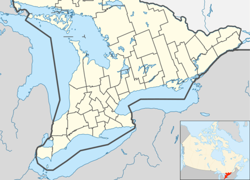
Mnjikaning First Nation 32 is an Anishinaabe reserve in Simcoe County, Ontario. It is the main reserve of the Chippewas of Rama First Nation.
References
- 1 2 "Mnjikaning First Nation 32 (Rama First Nation 32) census profile". 2011 Census of Population. Statistics Canada. Retrieved 3 June 2015.
External links
 |
Ramara | | ||
| Severn / Lake Couchiching | |
Ramara | ||
| ||||
| | ||||
| Ramara |
This article is issued from Wikipedia - version of the 2/17/2016. The text is available under the Creative Commons Attribution/Share Alike but additional terms may apply for the media files.