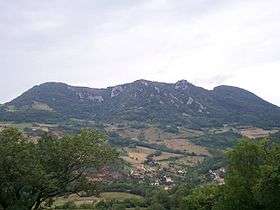
Mont Poupet
| Mont Poupet | |
|---|---|
 | |
| Highest point | |
| Elevation | 851 m (2,792 ft) |
| Coordinates | 46°58′20″N 5°53′13″E / 46.97222°N 5.88694°ECoordinates: 46°58′20″N 5°53′13″E / 46.97222°N 5.88694°E |
| Geography | |
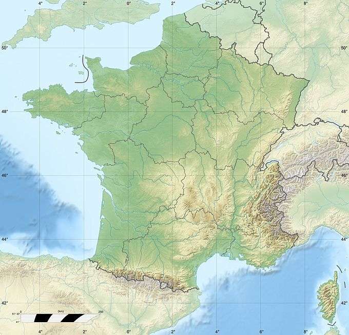 Mont Poupet France | |
| Location | Jura, France |
| Parent range | Jura Mountains |
Mont Poupet is mountain the Jura Mountains, Franche-Comté, eastern France. With an elevation of 851 metres (2,792 ft), it is located in the commune of Saint-Thiébaud. For up there you look down over the whole valley of Salins-les-Bains.
The mountain is mostly composed of limestone.
This article is issued from Wikipedia - version of the 12/6/2015. The text is available under the Creative Commons Attribution/Share Alike but additional terms may apply for the media files.