Monte San Salvatore
| Monte San Salvatore | |
|---|---|
 | |
| Highest point | |
| Elevation | 912 m (2,992 ft) |
| Prominence | 602 m (1,975 ft) [1] |
| Coordinates | 45°58′37.3″N 8°56′50.1″E / 45.977028°N 8.947250°ECoordinates: 45°58′37.3″N 8°56′50.1″E / 45.977028°N 8.947250°E |
| Geography | |
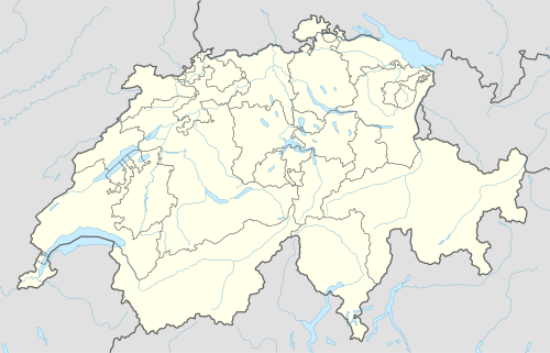 Monte San Salvatore Location in Switzerland | |
| Location | Ticino, Switzerland |
| Parent range | Lugano Prealps |
| Climbing | |
| Easiest route | Hike or ride Monte San Salvatore funicular |
The Monte San Salvatore (912 m) is a mountain in the Lepontine Alps above Lake Lugano and the city of Lugano in Switzerland. The Monte San Salvatore funicular links the city with the summit of the mountain.
Gallery
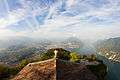 View of Lugano and its surroundings from Monte San Salvatore.
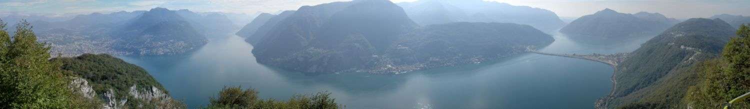 View of Lake Lugano from Monte San Salvatore, with Lugano to the left and the Melide causeway to the right
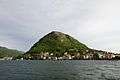 Monte San Salvatore, as seen from Piazza Luini, Lugano.
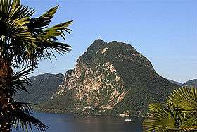
See also
References
External links
- Monte San Salvatore funicular railway web site
- Monte San Salvatore on Hikr
-
 Media related to Monte San Salvatore at Wikimedia Commons
This article is issued from Wikipedia - version of the 5/9/2016. The text is available under the Creative Commons Attribution/Share Alike but additional terms may apply for the media files.