Montfavergier
| Montfavergier | ||
|---|---|---|
| Former municipality of Switzerland | ||
| ||
 Montfavergier | ||
|
Location of Montfavergier 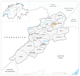 | ||
| Coordinates: 47°19′N 07°05′E / 47.317°N 7.083°ECoordinates: 47°19′N 07°05′E / 47.317°N 7.083°E | ||
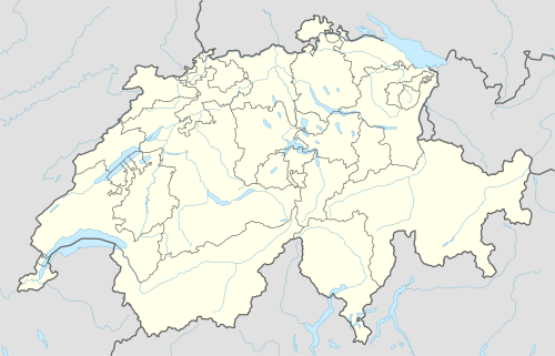
| Country | Switzerland | |
| Canton | Jura | |
| District | Franches-Montagnes | |
| Area | ||
| • Total | 3.45 km2 (1.33 sq mi) | |
| Elevation | 801 m (2,628 ft) | |
| Population | ||
| • Total | 34 | |
| • Density | 9.9/km2 (26/sq mi) | |
| Postal code | 2874 | |
| SFOS number | 6752 | |
| Surrounded by | Soubey, Epiquerez, Saint-Brais, Montfaucon, Les Enfers | |
| Website |
SFSO statistics | |

Montfavergier is a former municipality in the district of Franches-Montagnes in the canton of Jura in Switzerland. On 1 January 2009 the former municipality of Montfavergier merged into Montfaucon.[1]
References
- ↑ Amtliches Gemeindeverzeichnis der Schweiz published by the Swiss Federal Statistical Office (German) accessed 14 January 2010
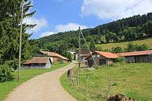
Road through Montfavergier
This article is issued from Wikipedia - version of the 8/20/2016. The text is available under the Creative Commons Attribution/Share Alike but additional terms may apply for the media files.