Morrow, Louisiana
| Morrow | |
|---|---|
| Unincorporated community | |
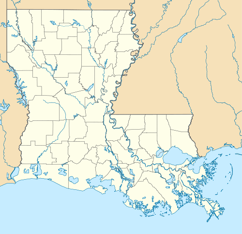 Morrow Location within the state of Louisiana | |
| Coordinates: 30°49′51.0″N 92°5′4.68″W / 30.830833°N 92.0846333°WCoordinates: 30°49′51.0″N 92°5′4.68″W / 30.830833°N 92.0846333°W | |
| Country | United States |
| State | Louisiana |
| Parish | St. Landry |
| Population (2000) | |
| • Total | 648 |
| Time zone | Central (CST) (UTC-6) |
| • Summer (DST) | CDT (UTC-5) |
| ZIP codes | 71356 |
| Area code(s) | 318 |
Morrow is an unincorporated community and USGS populated place[1] in St. Landry Parish, Louisiana, United States, located just east of U.S. Route 71 and the railroad tracks.
A post office[2] has existed in this community since 1883.[3]
Public school students in Morrow attended Morrow Elementary School (under the supervision of the St. Landry Parish School Board) until the school was closed due to dwindling school population and a federal desegregation order in 2009.[4][5]
Morrow is served by St. Landry Parish Fire Protection District #7.[6]
References
Municipalities and communities of St. Landry Parish, Louisiana, United States | ||
|---|---|---|
| Cities | 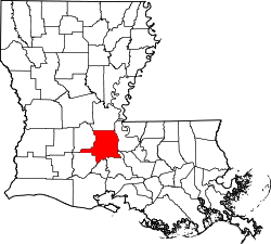 | |
| Towns | ||
| Villages | ||
| CDP | ||
| Other unincorporated communities |
| |
| Footnotes | ‡This populated place also has portions in an adjacent parish or parishes | |
This article is issued from Wikipedia - version of the 5/2/2014. The text is available under the Creative Commons Attribution/Share Alike but additional terms may apply for the media files.