Mount Kunyit
| Mount Kunyit | |
|---|---|
 | |
| Highest point | |
| Elevation | 2,151 m (7,057 ft) [1] |
| Coordinates | 2°35′31″S 101°37′48″E / 2.592°S 101.63°E |
| Geography | |
| Location | Sumatra, Indonesia |
| Parent range | Bukit Barisan |
| Geology | |
| Mountain type | Stratovolcano |
| Last eruption | Unknown |
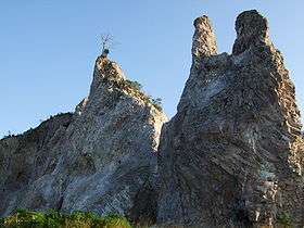
Mount Kunyit (Indonesian: Gunung Kunyit, means: Turmeric Mountain) is a fumarolic stratovolcano on Sumatra, Indonesia. The summit contains two craters; the uppermost is a crater lake.[1]
See also
References
- 1 2 "Kunyit". Global Volcanism Program. Smithsonian Institution. Retrieved 2006-12-27.
This article is issued from Wikipedia - version of the 2/16/2016. The text is available under the Creative Commons Attribution/Share Alike but additional terms may apply for the media files.