Mount Stakes
| Mount Stakes | |
|---|---|
 Mount Stakes
| |
| Highest point | |
| Elevation | 3,810 ft (1,161 m) NAVD 88[1] |
| Prominence | 1,404 ft (428 m) [2] |
| Listing | California county high points 48th |
| Coordinates | 37°19′20″N 121°24′31″W / 37.322325842°N 121.408494881°WCoordinates: 37°19′20″N 121°24′31″W / 37.322325842°N 121.408494881°W [1] |
| Geography | |
| Location | Santa Clara and Stanislaus counties, California, U.S. |
| Parent range | Diablo Range |
| Topo map | USGS Mount Stakes |
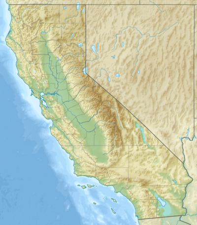
Mount Stakes is a mountain in the Diablo Range in California. The peak is located on the Santa Clara–Stanislaus county line; rises to an elevation of 3,810 feet (1,161 m) and is the highest point in Stanislaus County.[2] It is 22 miles (35 km) west of Newman and 32 miles (51 km) southeast of Livermore.[1] Some snow falls on the peak during the winter.[3]
See also
References
- 1 2 3 "Mount Stakes". NGS data sheet. U.S. National Geodetic Survey. Retrieved 2009-08-17.
- 1 2 "Mount Stakes, California". Peakbagger.com. Retrieved 2009-02-05.
- ↑ "Subsection M262Ac - Diablo Range". U.S. Forest Service. Archived from the original on 2005-03-15. Retrieved 2014-02-22.
External links
- "Mount Stakes". Geographic Names Information System. United States Geological Survey. Retrieved 2009-02-05.
This article is issued from Wikipedia - version of the 9/10/2016. The text is available under the Creative Commons Attribution/Share Alike but additional terms may apply for the media files.