Mount Toyoni (Erimo)
| Mount Toyoni | |
|---|---|
| 豊似岳 | |
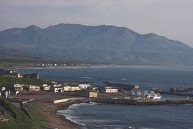 A view from Cape Erimo | |
| Highest point | |
| Elevation | 1,105.0 m (3,625.3 ft) |
| Listing | List of mountains and hills of Japan by height |
| Coordinates | 42°4′37″N 143°13′59″E / 42.07694°N 143.23306°ECoordinates: 42°4′37″N 143°13′59″E / 42.07694°N 143.23306°E |
| Geography | |
| Location | Hokkaidō, Japan |
| Parent range | Hidaka Mountains |
| Topo map |
Geographical Survey Institute (国土地理院 Kokudochiriin) 25000:1 えりも 50000:1 えりも |
| Geology | |
| Mountain type | Fold |
Mount Toyoni (豊似岳 Toyoni-dake) is located in the Hidaka Mountains, Hokkaidō, Japan.
References
This article is issued from Wikipedia - version of the 6/14/2013. The text is available under the Creative Commons Attribution/Share Alike but additional terms may apply for the media files.