Mponela
| Mponela | |
|---|---|
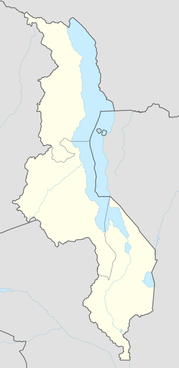 Mponela Location in Malawi | |
| Coordinates: 13°31′S 33°43′E / 13.517°S 33.717°E | |
| Country |
|
| Region | Central Region |
| District | Dowa District |
| Population (2008 est.) | |
| • Total | 13,670 |
| Time zone | +2 |
| Climate | Cwa |
Mponela is a town in Dowa District in the Central Region of Malawi.
Mponela lies at 1,200 m in the Dowa District in the Central Region of Malawi, 60 km north of Lilongwe, with a population of 9,846 (1998; estimate 2006: 13,212). It is on the tarred road between Lilongwe–Mzuzu, is connected with power and phone lines and has an airstrip.
Mponela is primarily an agricultural town without touristic interest. The government maintains a nutrition centre in which 700 children per day obtain food.
Demographics
| Year | Population[1] |
|---|---|
| 1998 | 9 921 |
| 2008 | 13 670 |
References
Coordinates: 13°31′S 33°43′E / 13.517°S 33.717°E
This article is issued from Wikipedia - version of the 3/4/2015. The text is available under the Creative Commons Attribution/Share Alike but additional terms may apply for the media files.