Mudgeri
| Mudgeri ಕನ್ನಡ | |
|---|---|
| Village | |
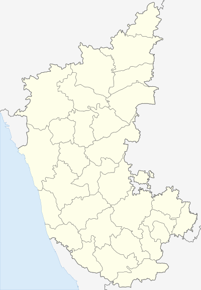 Mudgeri  Mudgeri Location in Karnataka, India | |
| Coordinates: 14°54′0″N 74°8′0″E / 14.90000°N 74.13333°ECoordinates: 14°54′0″N 74°8′0″E / 14.90000°N 74.13333°E | |
| Country |
|
| State | Karnataka |
| District | Uttara Kannada |
| Government | |
| • Body | Gram panchayat |
| Languages | |
| • Official | Kannada |
| Time zone | IST (UTC+5:30) |
| ISO 3166 code | IN-KA |
| Vehicle registration | KA |
| Nearest city | Karwar |
| Website |
karnataka |
Mudgeri (Kannada:ಕನ್ನಡ) is a village in Karwar Taluka, Uttara Kannada district, Karnataka, India.[1][2] It is close to the historic fort of Sadashivgad located on Kali river. Konkani is spoken as a local language.
Location
Mudgeri is near to the Goa-Karnataka border. It is close to the wayside railway station at Asnoti which falls under the jurisdiction of the Konkan Railway.
Places of Attraction
- Shivnath Temple
- Shri Mahalasha Narayani Devasthan Temple
- Mudgeri Dam
- Mahasati Temple
- Ganapati Temple
- Shri Bramhadev
- Bomnath Mountain
- Venkatraman Temple
- Siddeshwar Temple
References
- ↑ "Mudgeri village". Retrieved 25 May 2013.
- ↑ "Student strength swells in Kannada schools in border villages". Retrieved 26 May 2013.
This article is issued from Wikipedia - version of the 10/13/2016. The text is available under the Creative Commons Attribution/Share Alike but additional terms may apply for the media files.